Ben Alder and the Bike-Hammer-Brake Adventure

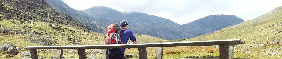
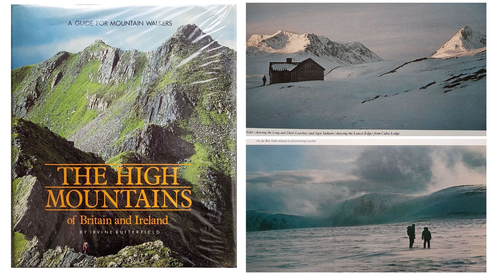
Probably the greatest influence on our early Highland trips was Irvin Butterfield’s book, ‘The High Mountains Of Britain And Ireland: A Guide For Mountain Walkers’. Full of superb mountain photos that would inspire many an adventure for years to come. Ben Alder was a typical example, a huge upland area in the Central Highlands looking invitingly wonderful with it’s sweeping ridges and nearby Culra bothy. For some reason one image lodged in the memory, two grey figures like astronauts on the moon, simply titled “On the Ben Alder Plateau in deteriorating weather”.

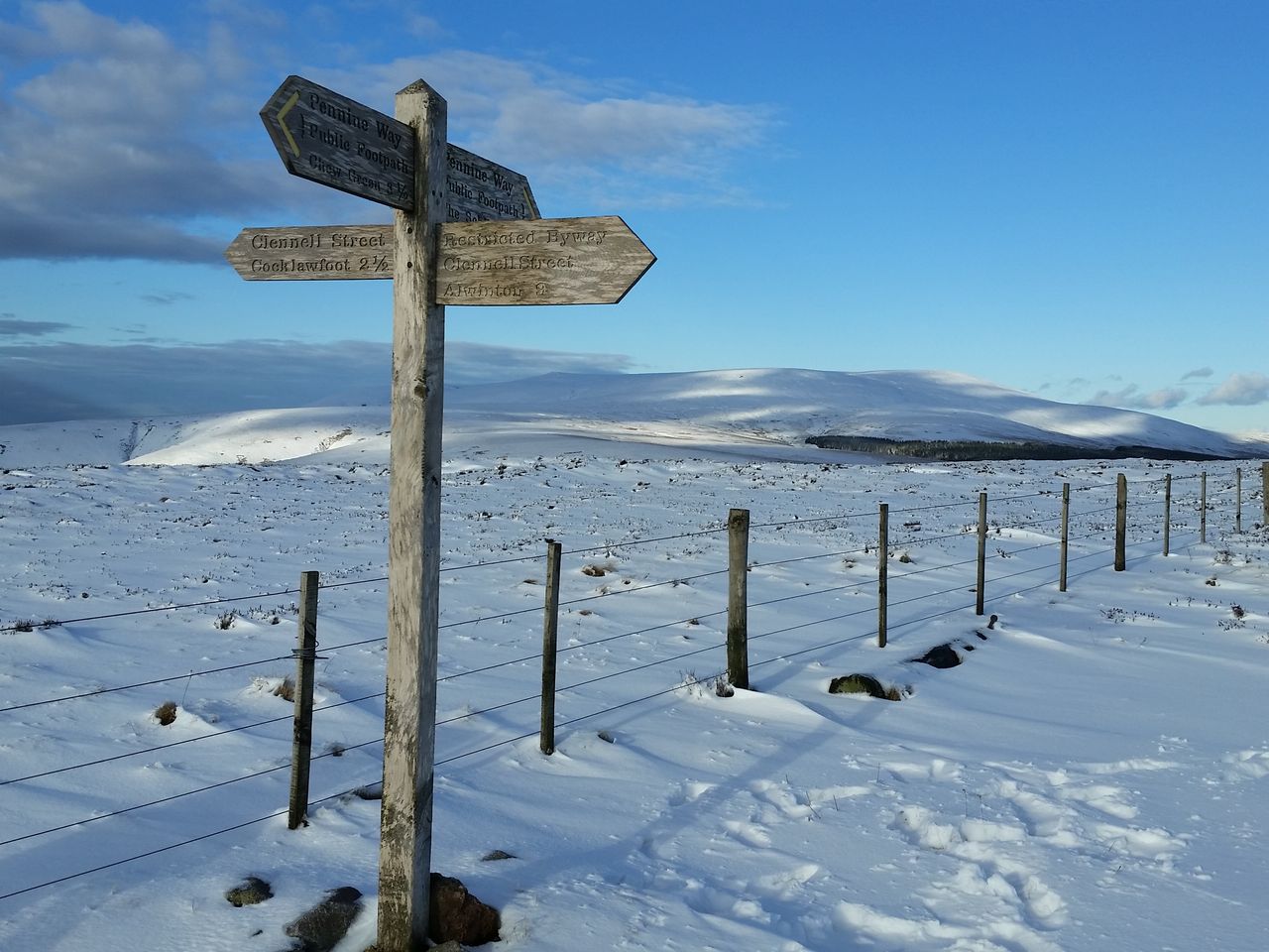
Not that we had any intention of ever trying this in bad weather as in addition to it’s featureless plateau Alder is one of the most remote Munro’s with a lengthy approach making a day trip long and arduous. Most do it from Culra, a near 11 mile circuit with 3,350ft ascent, however Culra is another 9.5 miles from the nearest road at Dalwhinnie. For years Alder was on the wish list but deferred, until one fine day a plan came together.

The year was 2001 nearly 20yrs ago, before 3G and wireless, Windows XP had just launched, as had Shrek, Lord of the Rings and the first Harry Potter film. We had friends in Edinburgh and took ridiculous advantage by all too often establishing base camp in their spare room. For this trip we were offered something making Ben Alder do-able in a day…bicycles!

So we drove up to Edinburgh one evening to stay with Dave & Pam (for that was their names). Dave was a Geordie mechanical engineer/inventor type, Pam was a chiropodist who used to enjoy winding us up by saying she worked in the local Crawford’s biscuit factory putting the filling in custard creams.

On arrival in Edinburgh our options were clear;-
1. Get gear sorted, have a sensible early night ready for a sensible early drive for Ben Alder!
2. Go for a pint! (we chose option 2).

Edinburgh pubs are wonderful and serve many types of beer which we hoped would be ideal preparation for the hills. Back from the pubs at 11pm we started preparation for the hills. Firstly we needed to check the bikes, I’d be using Pam’s, whilst Alan (being a tall bugger) would use Dave’s.

I remember Dave’s words as if it were yesterday, in classic Geordie understatement;-
“reet well my bike’s ok, apart from a slow puncture…….but Pam’s brakes don’t work”.
Brief and to the point, though we did wonder why these slight issues hadn’t been mentioned beforehand. Dave continued optimistically;-
“I’ve kind of sorted something for the brakes which should be ok”.
Words to fill any aspiring mountain cyclist with confidence. Dave led us to the bikes, remember he’s a mechanical engineer/inventor type;- “I’ve used picture wire as the brake cable….and taped a small hammer to the handlebar as the lever”.

Yes Dave in true Geordie spirit of Lord Armstrong had invented the worlds first bike-hammer-brake™. That night I ventured onto Edinburgh streets testing the friction coefficient of said braking system – and bloody hell, it seemed to work! Madness, but our trip was back on!

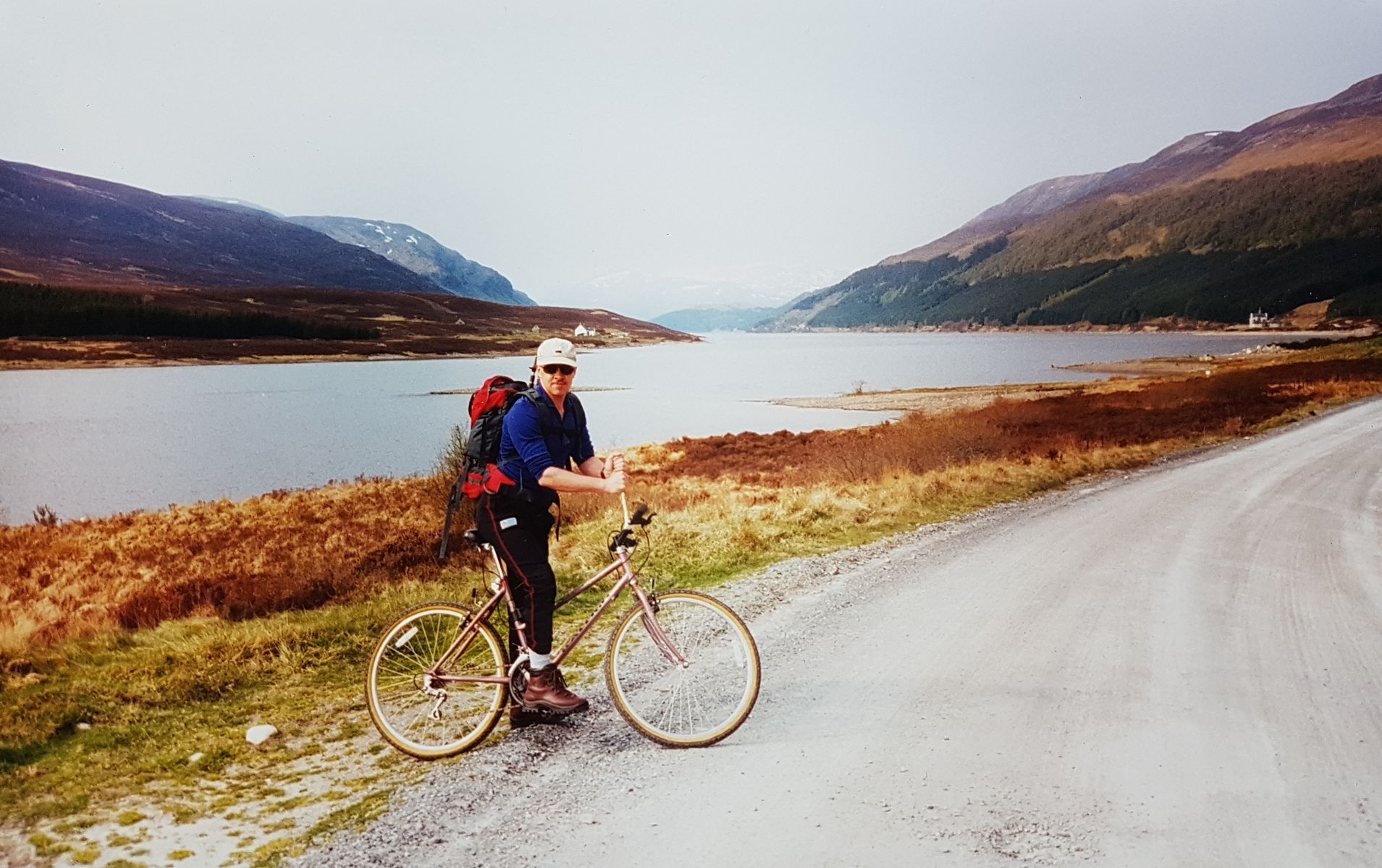
Despite the late night we managed an early start, loading two defective bikes into a Renault 5, NOT an easy task I can tell you. We arrived and parked near Dalwhinnie Station unloaded the bikes, pumped Alan’s tyre up and excitedly looked forward to an eventful day. By now you’re probably dying to see the bike-hammer-brake™, so as they say on the telly, let’s go live to Dalwhinnie;-

May 2001 – the infamous bike-hammer-brake™, high-tech Geordie engineering at it’s best

Don’t I look cool – or something. Alder’s long approach started on a long track by Loch Ericht perfect for cycling. On the first undulation I carefully and successfully engaged the bike-hammer-brake™, all went well, even Alan’s tyre stayed up. Only downside was the unexpectedly hazy weather, we’d always wanted a clear day for Alder so had picked what seemed a pleasant weather window. Remember forecast options back then were far more limited pre smartphone, our options were;-

  1. Stop at a red phone box, phone the mountain forecast, watch coins disappear at alarming speed, long intro, hopefully have enough coins for the full forecast, try to remember forecast.
  2. Divert to an outdoor shop and hopefully find a mountain forecast displayed
  3. Catch the national television weather, no cost but gloriously useless

No recollection of which option we picked (probably 3), but we can remember it was guaranteed to be a fine warm clear day with no chance of rain whatsoever. No rain anywhere in Scotland in fact, nearest rain was a village outside Reykjavik. So certain were we of no rain that I didn’t even bother taking my waterproof, just a showerproof cycling top, (you just know where this is going don’t you).

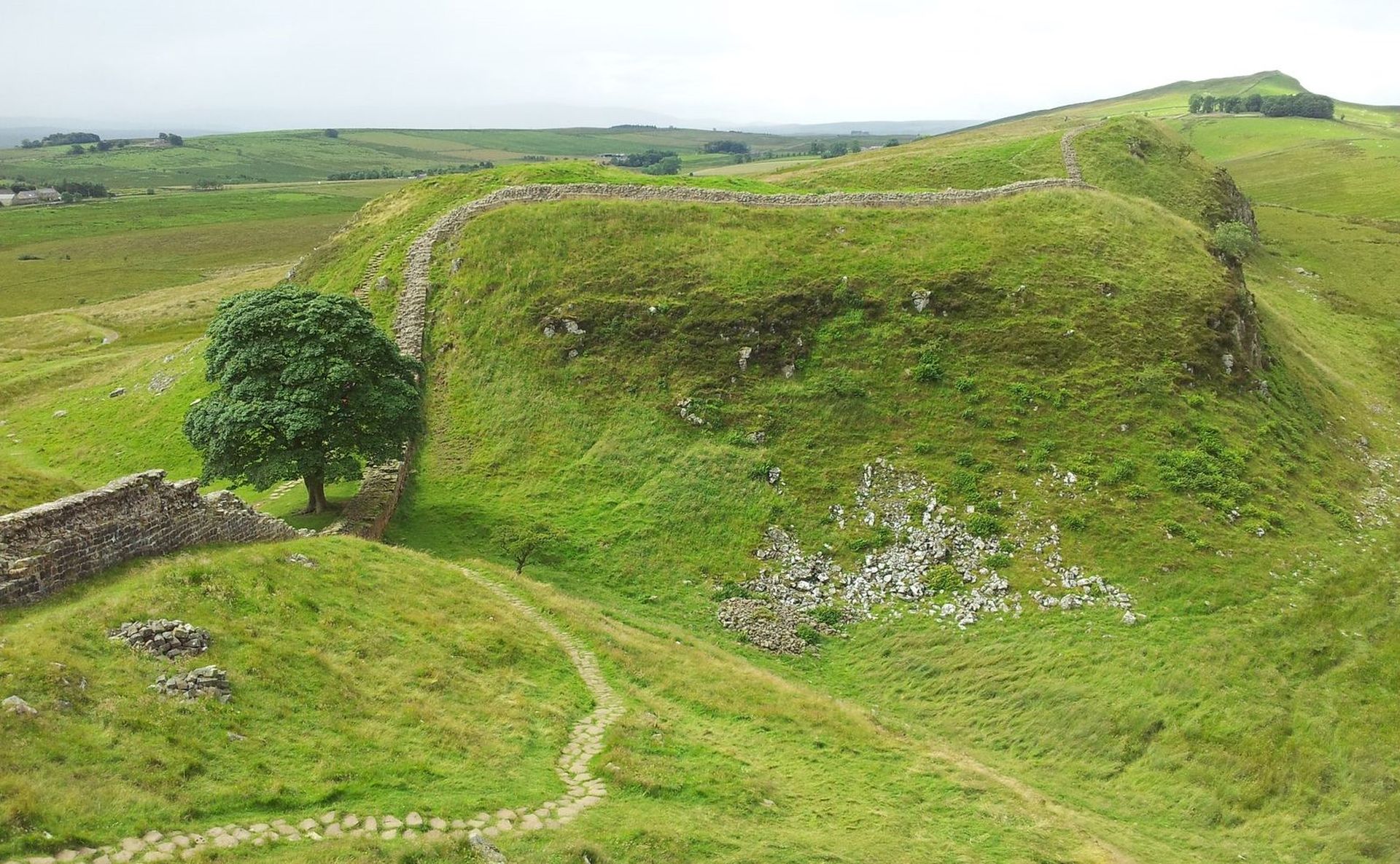
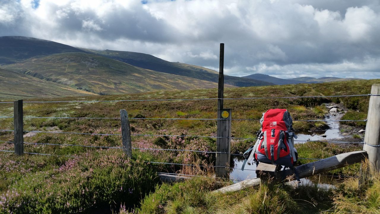
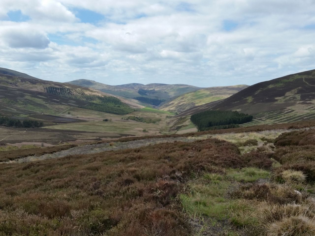
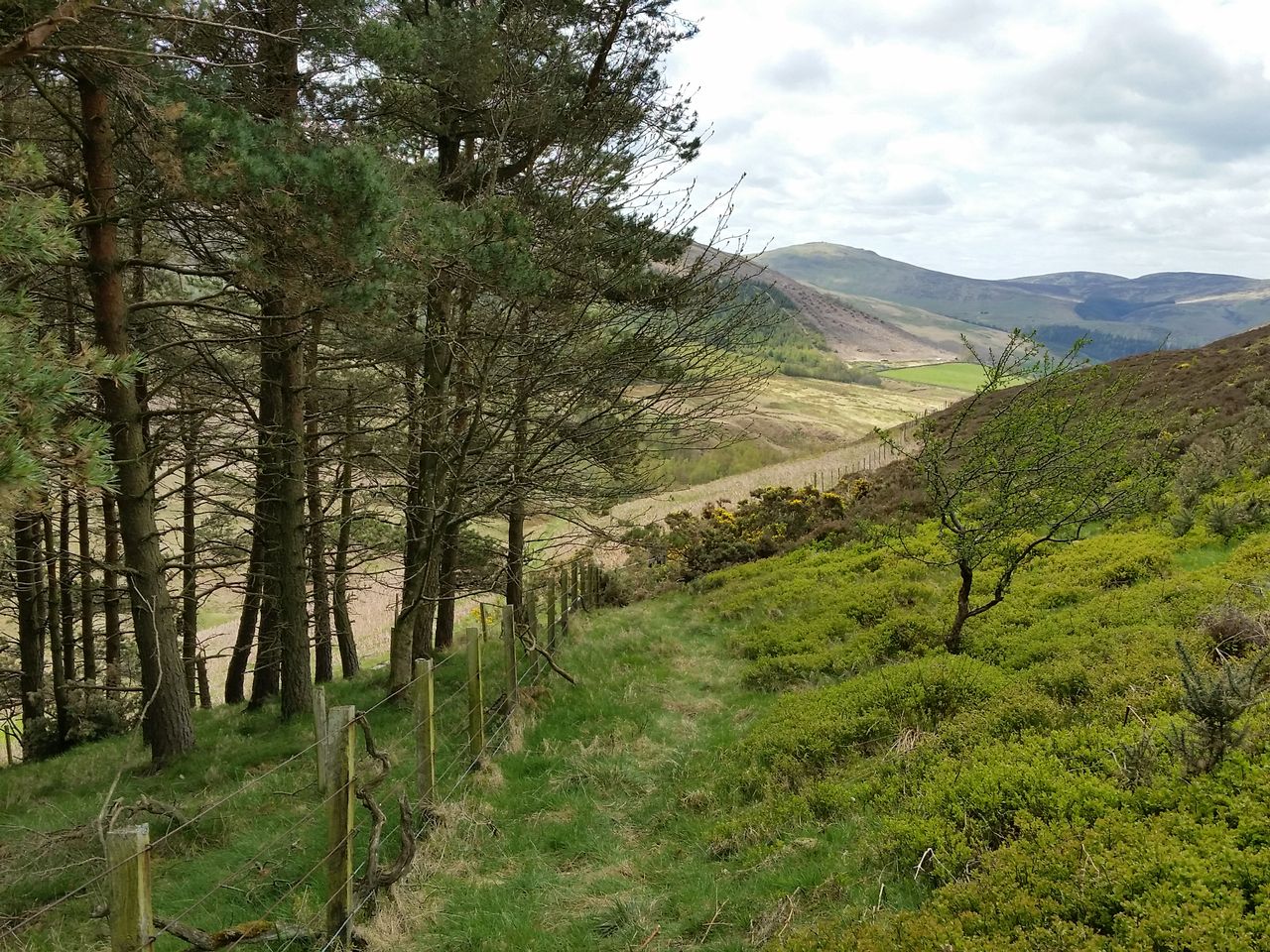
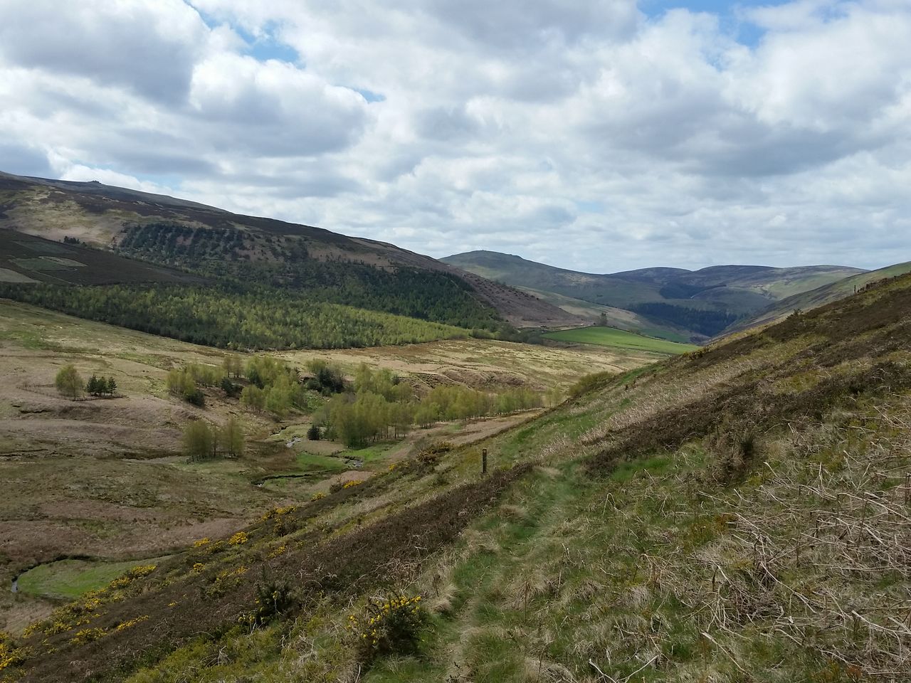
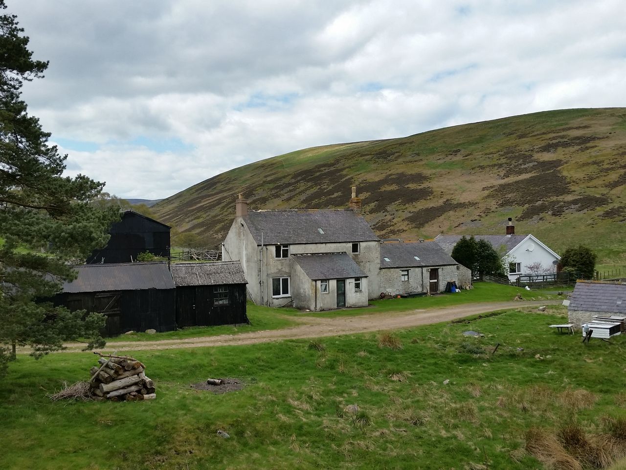
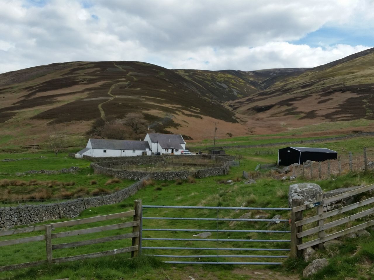
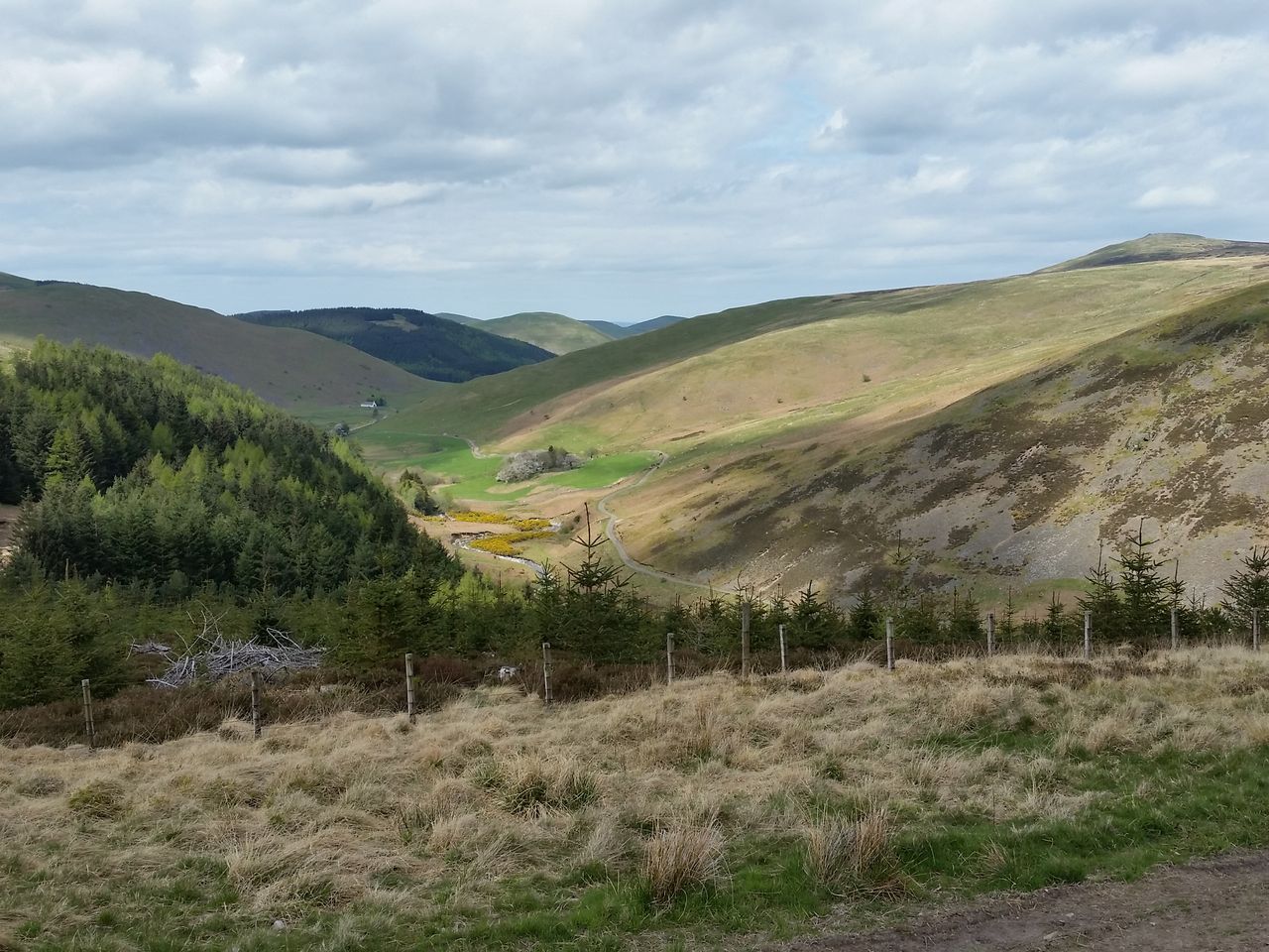
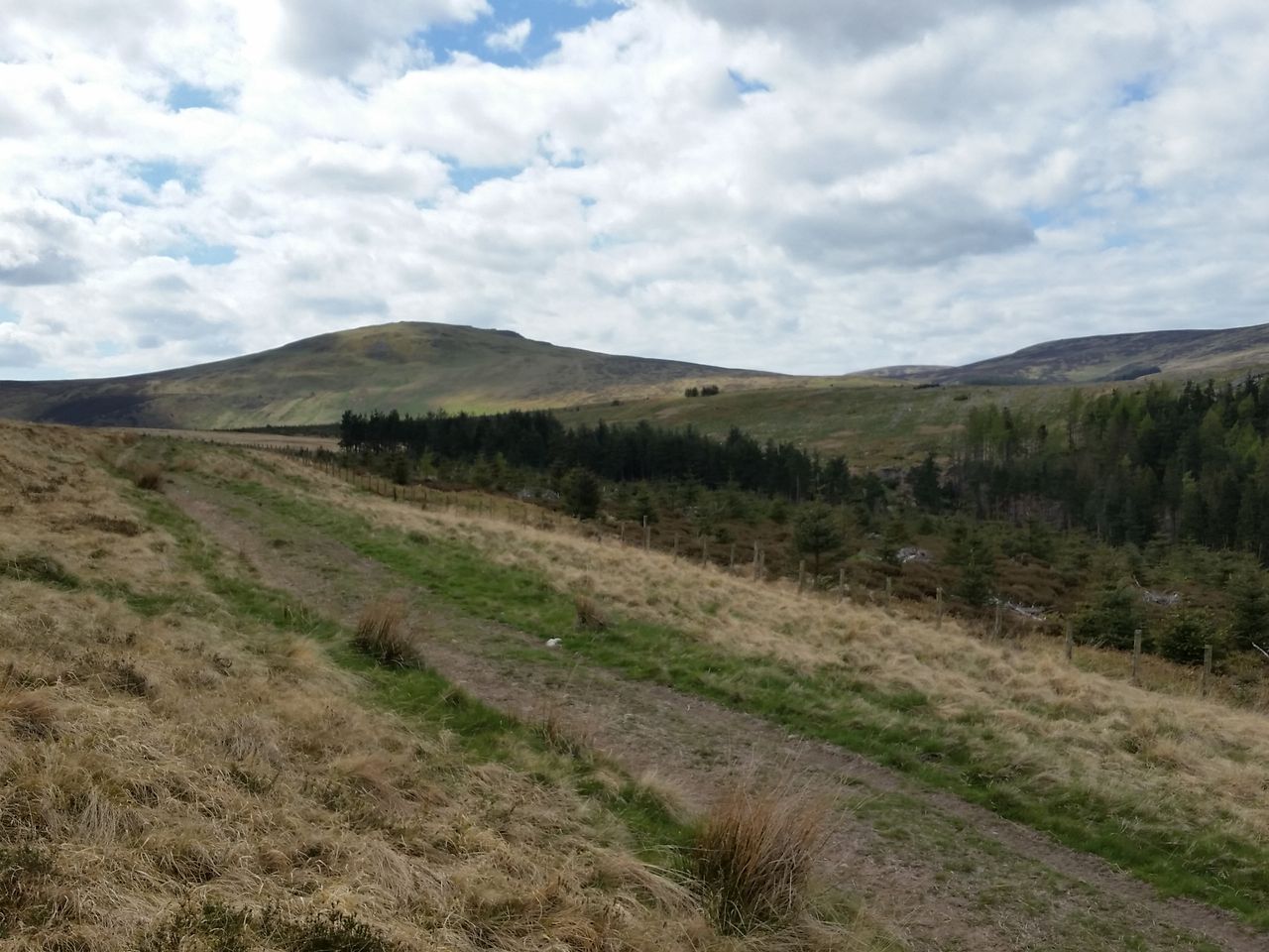
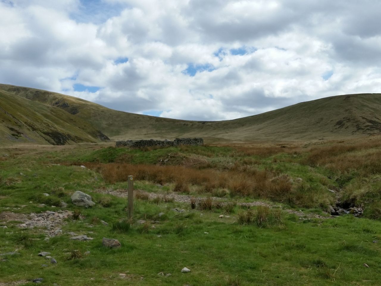
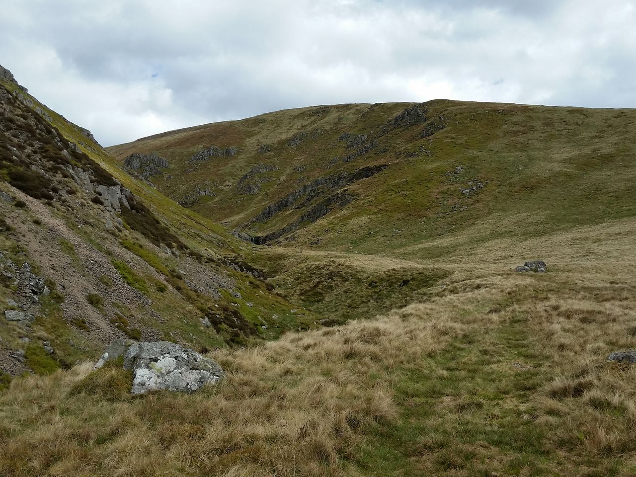
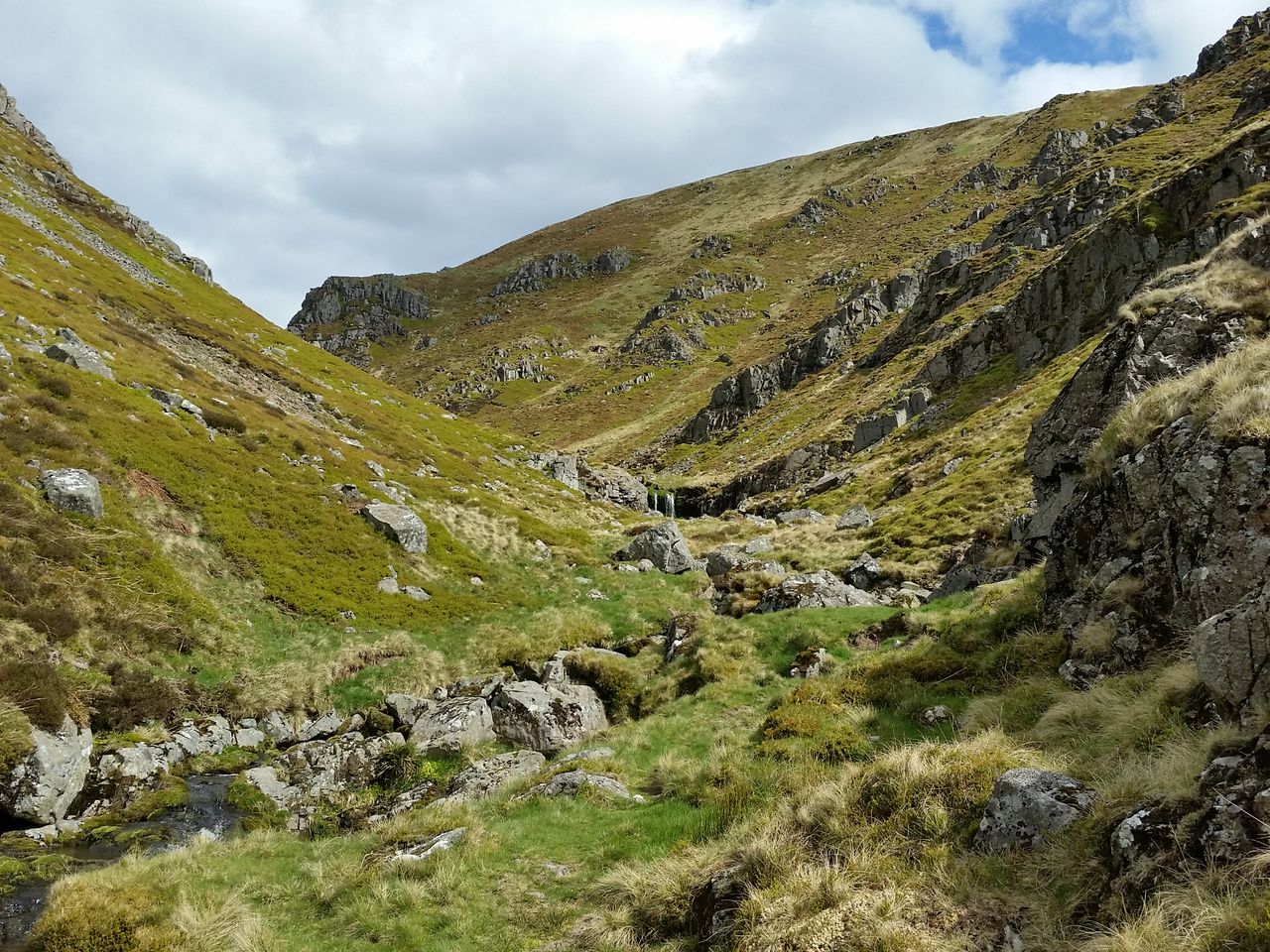
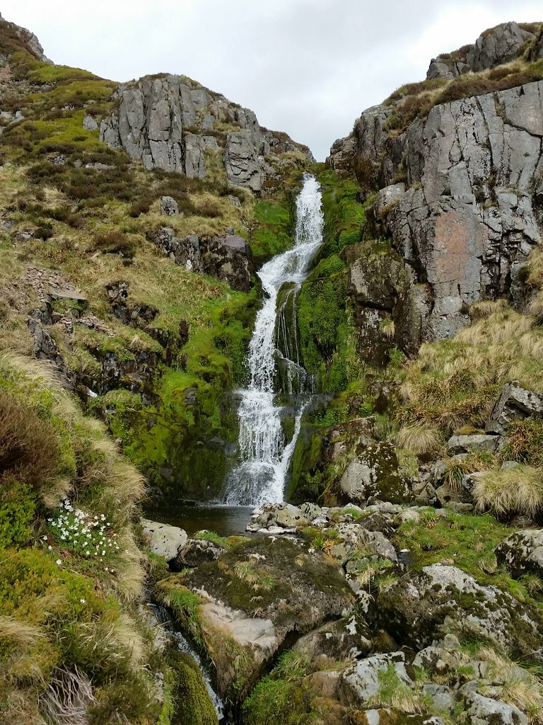
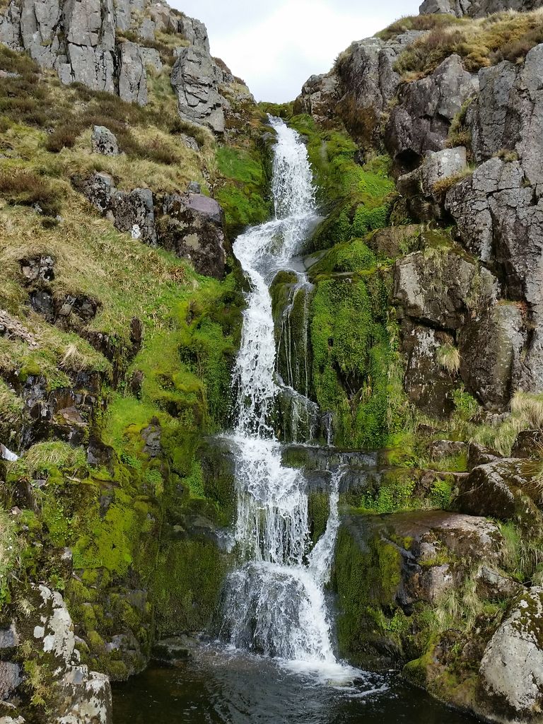
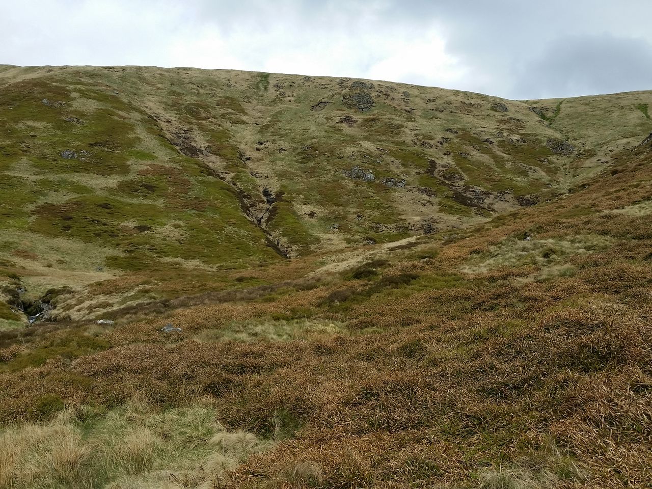
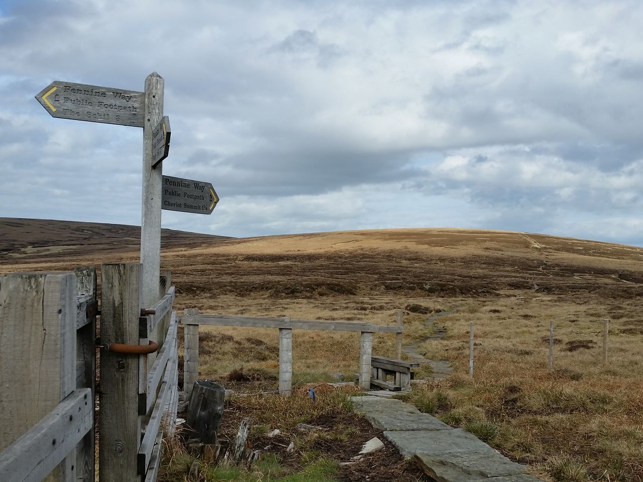
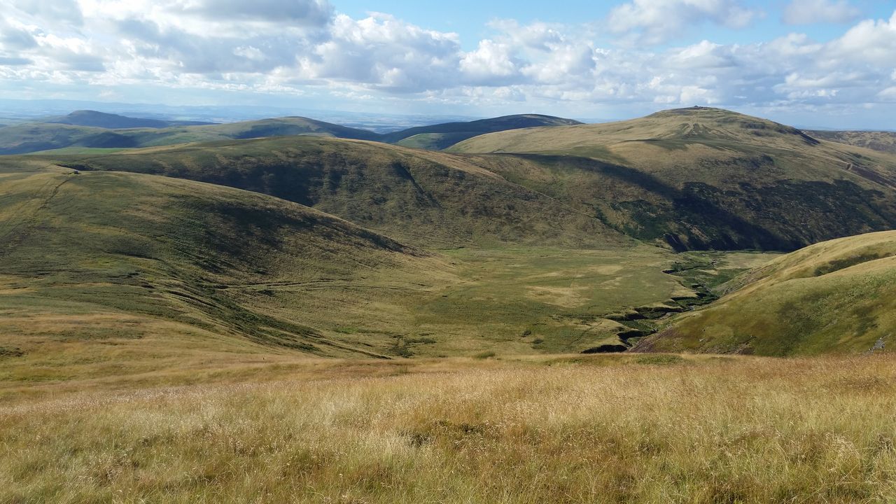
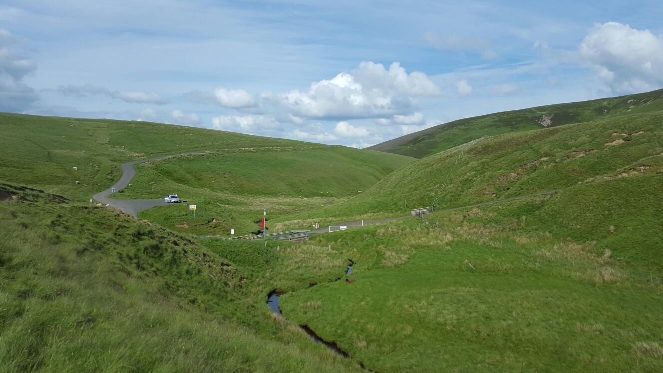
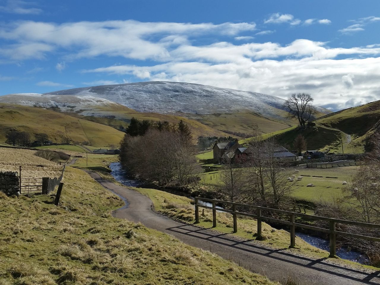
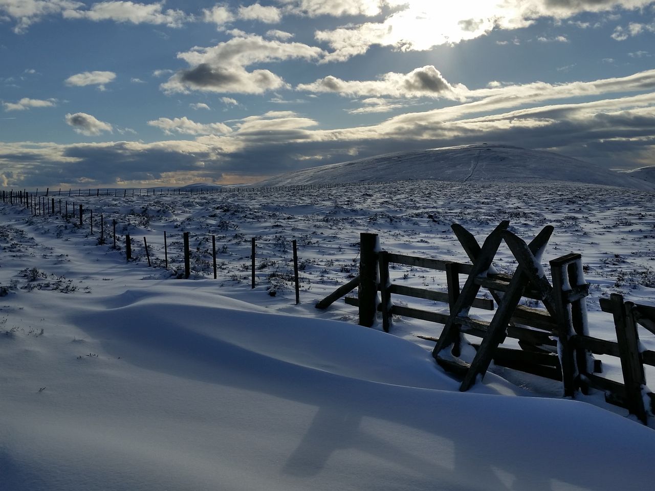
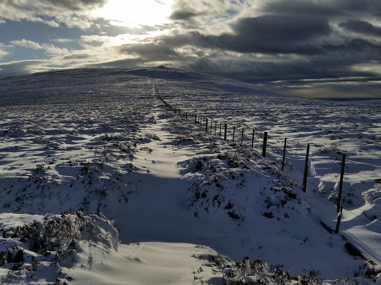
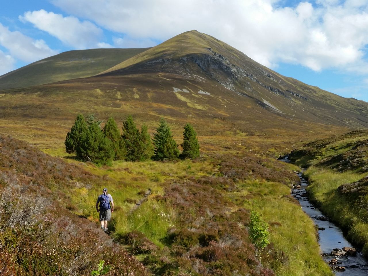
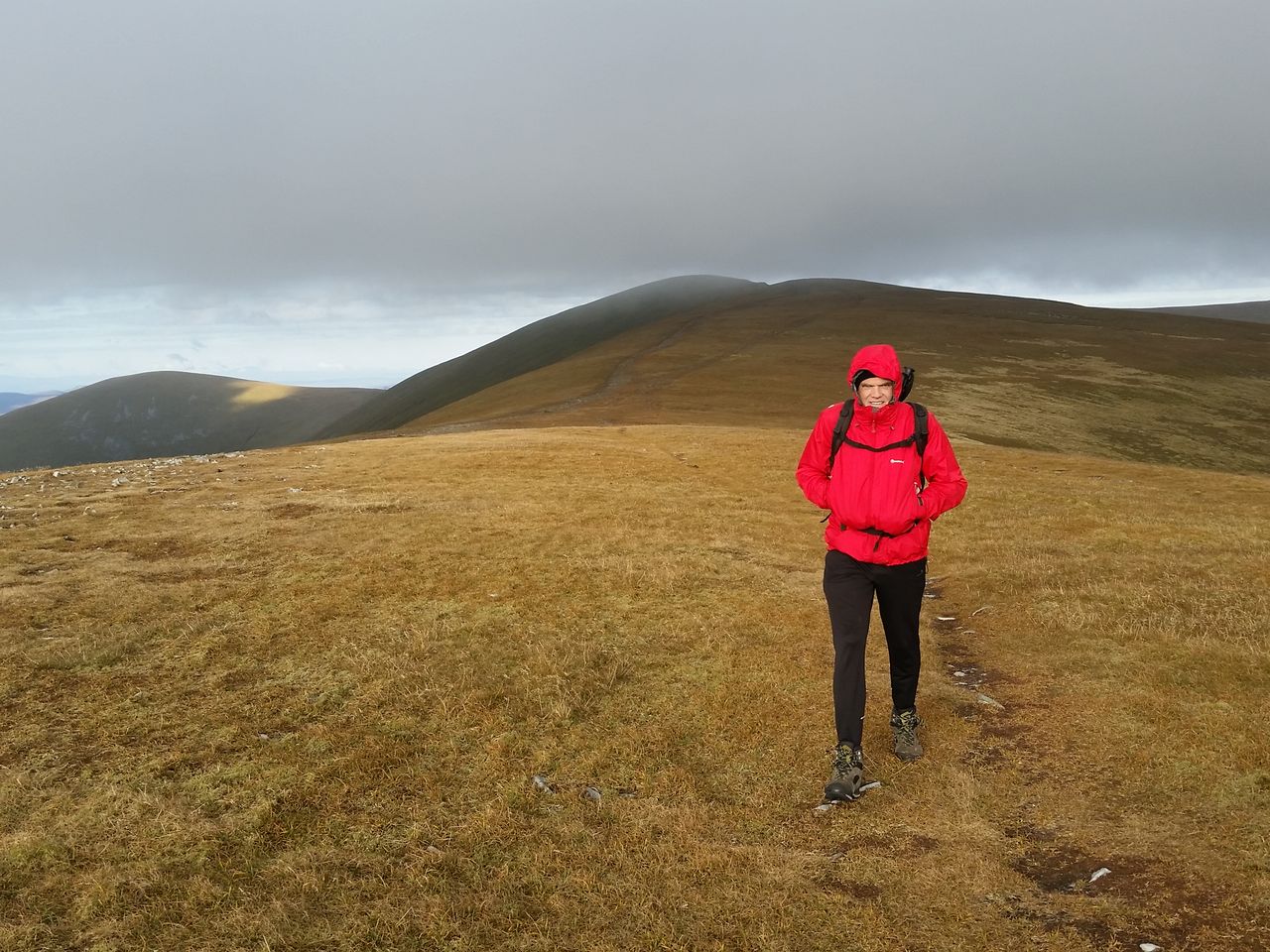
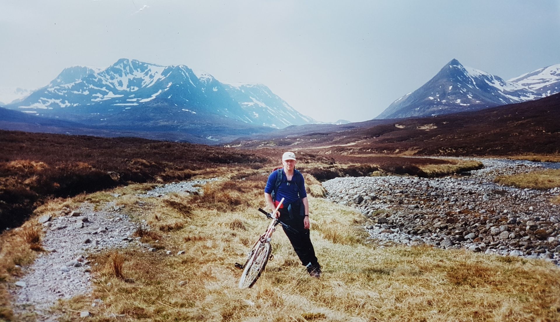
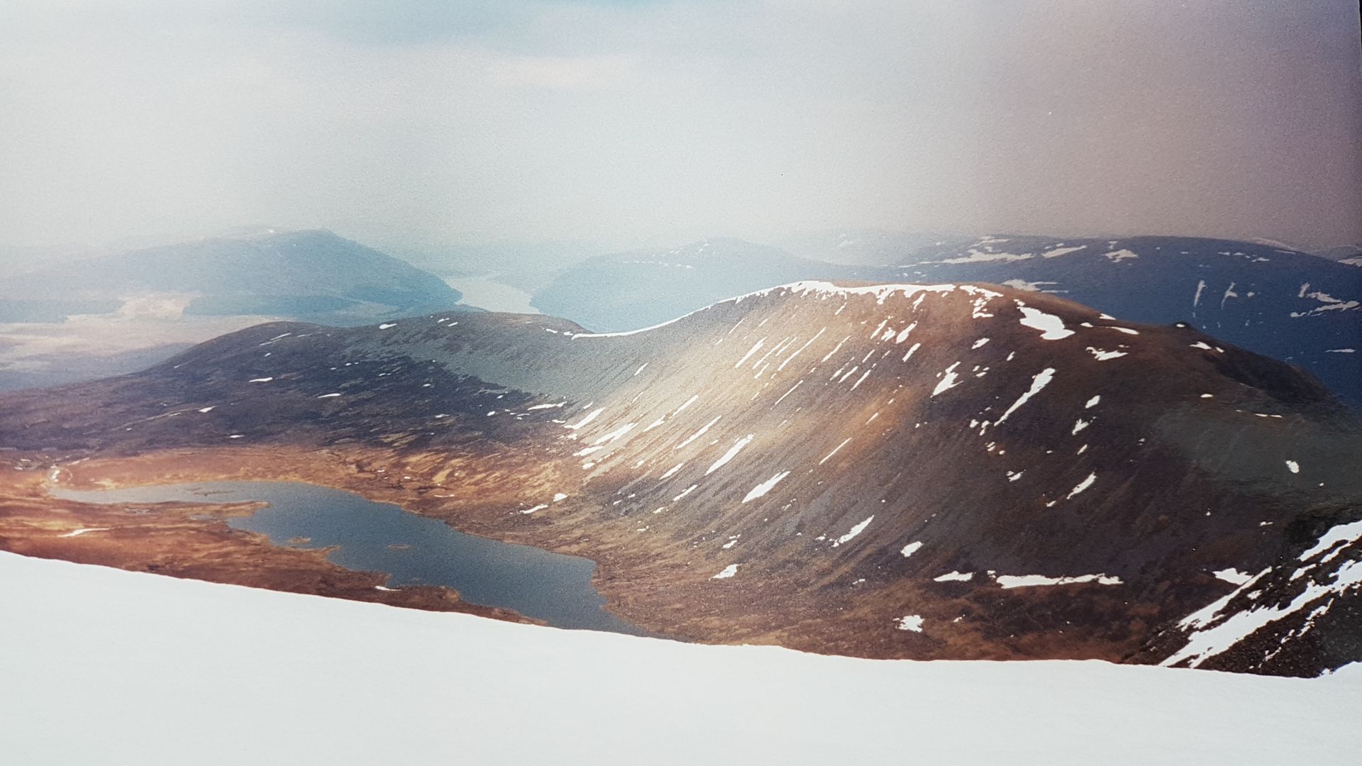
Memories fade of the 9.5 mile bike ride, seemed satisfyingly straightforward along the lochside turning southwest at Ben Alder Lodge with that classic view of Alder eventually opening up just like Butterfield’s photos. The two Leaches ridges looked fantastic even on this aged photo though I’d completely forgotten about the snow up there that day, we just remember it was really warm for May. Soon we were cycling straight for Alder passing the famous Culra Bothy, unfortunately on the other side of the river so didn’t get any decent photos. Bikes were jettisoned and hidden in long grass with handlebars poking out like deer antlers, despite the remote location our urban upbringing ensured it was impossible to suppress our fears of passing thieves!

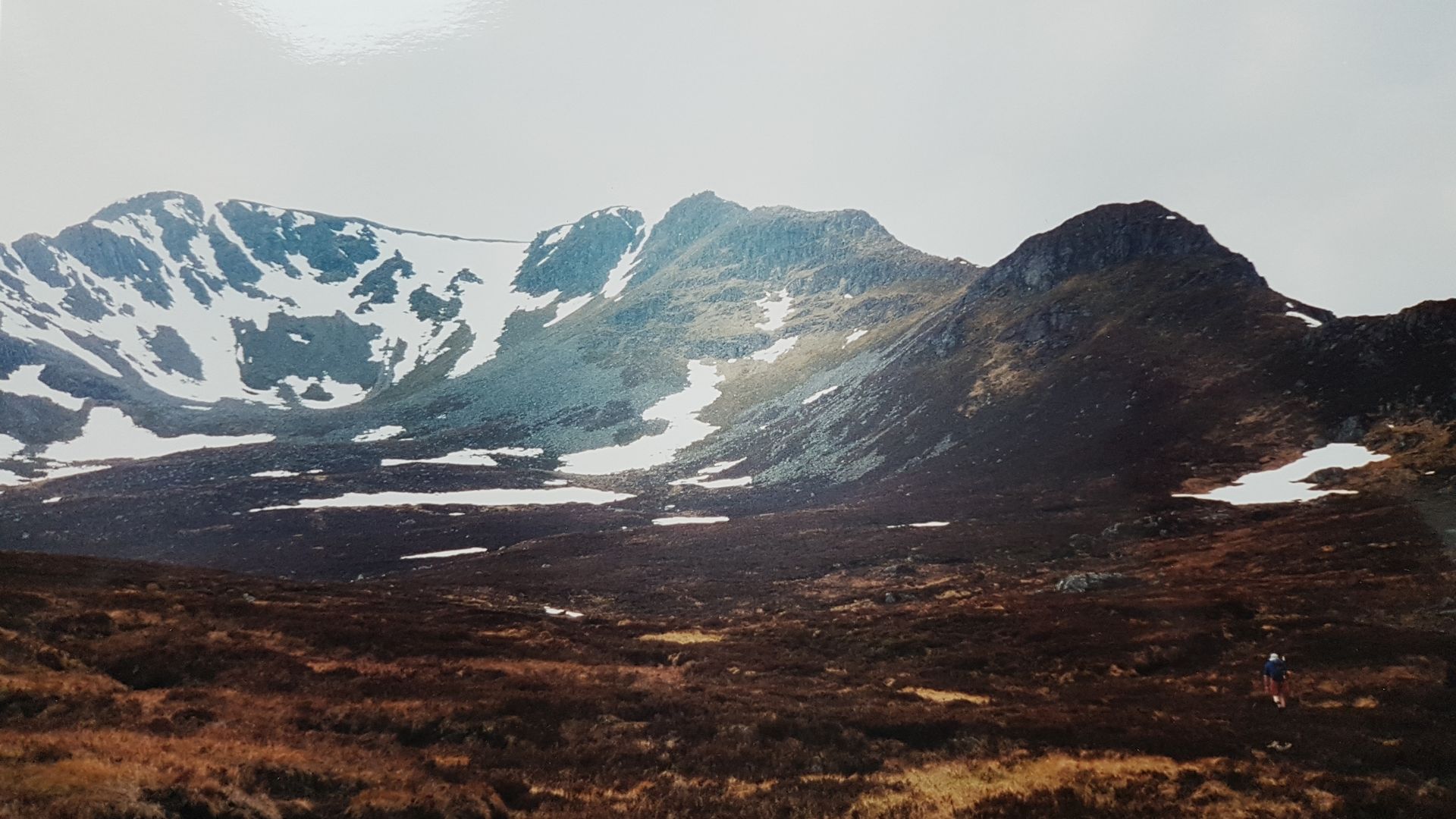
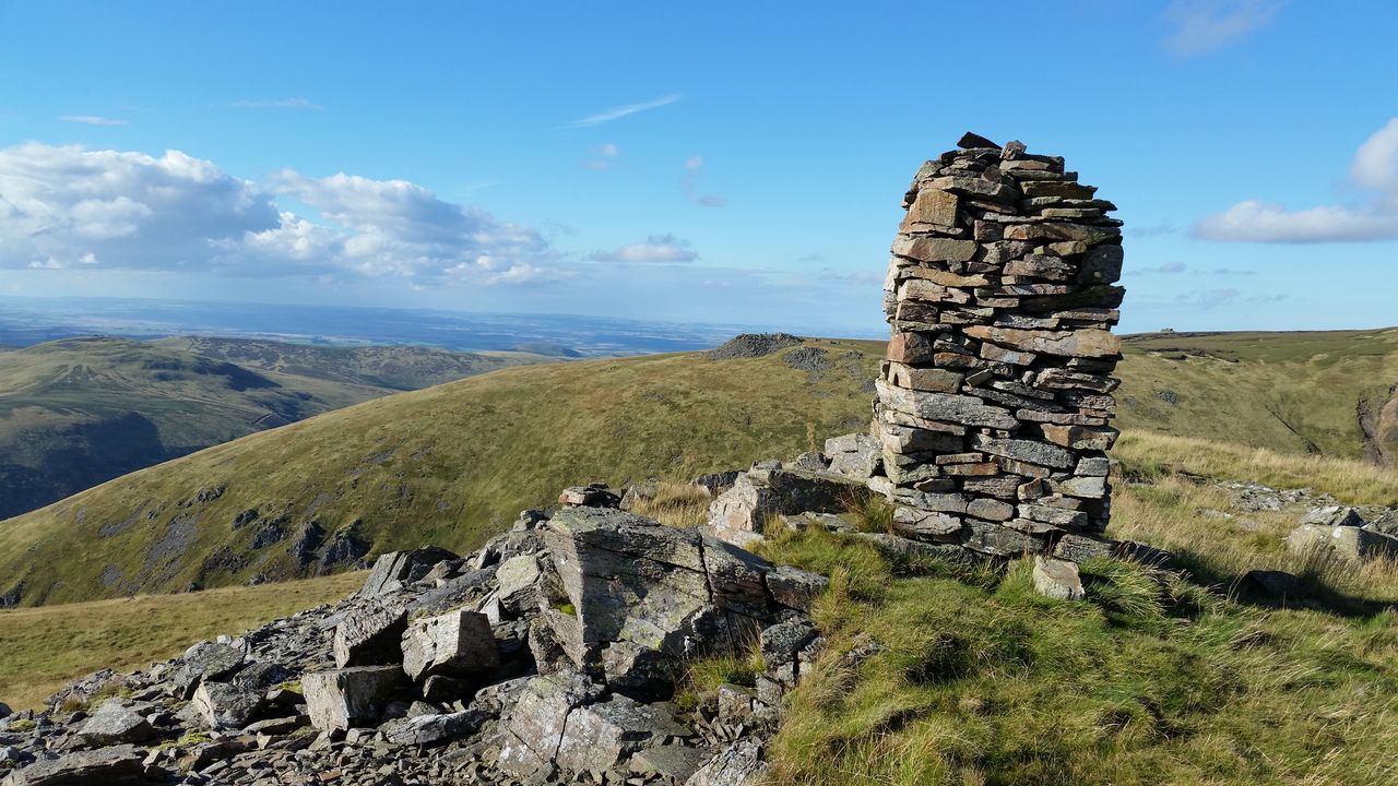
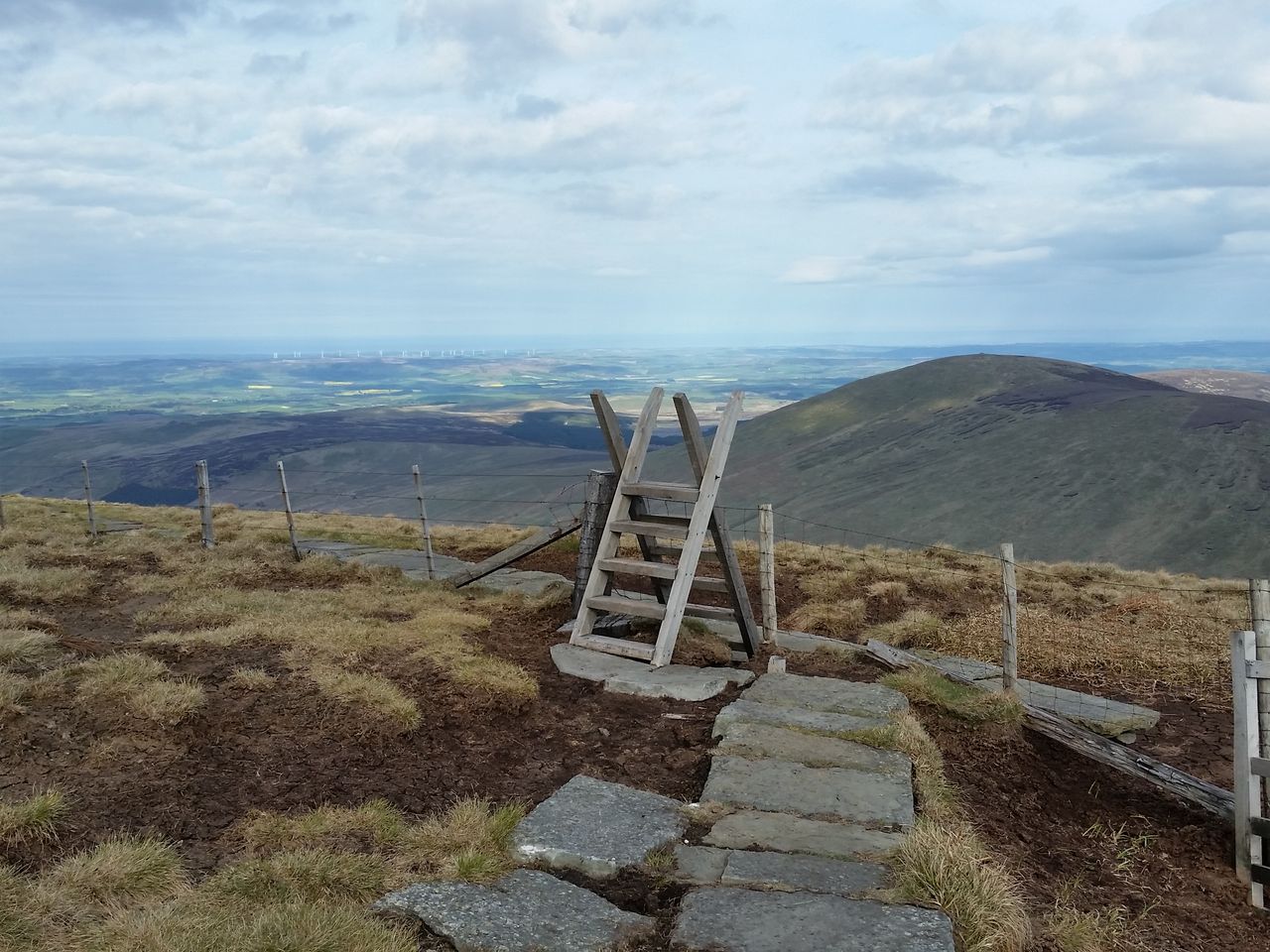
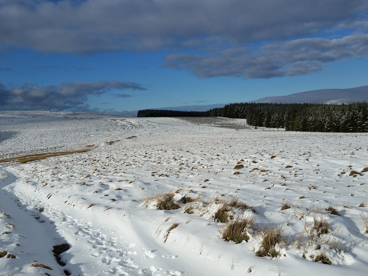
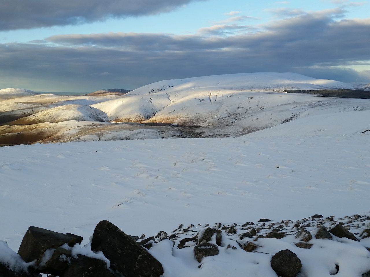
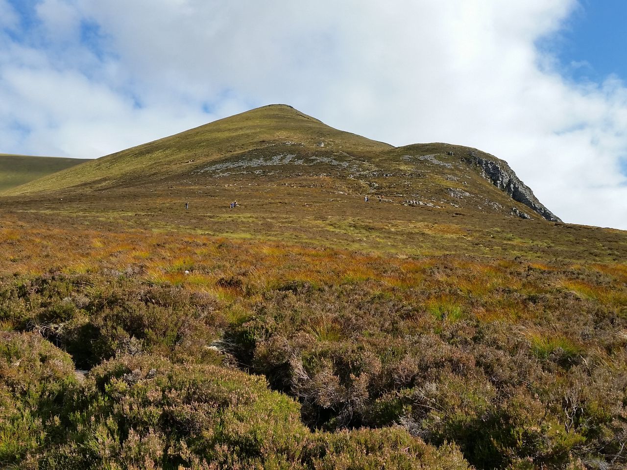
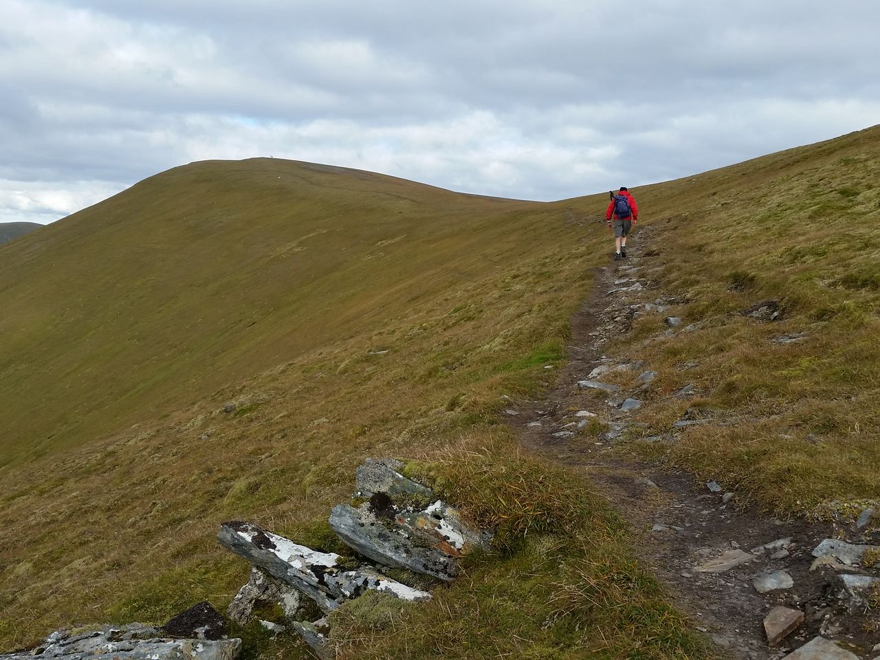
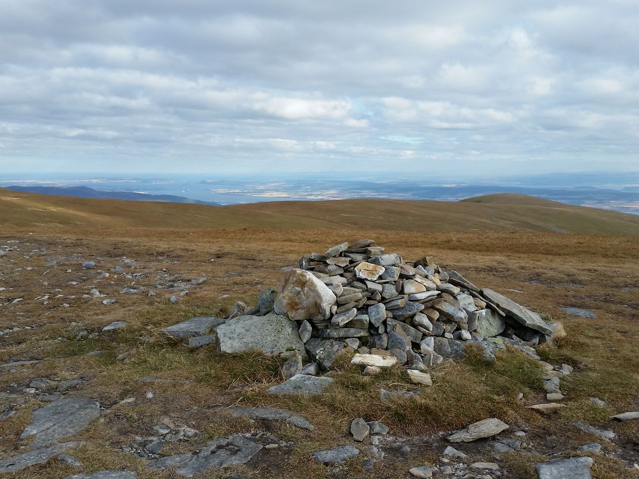
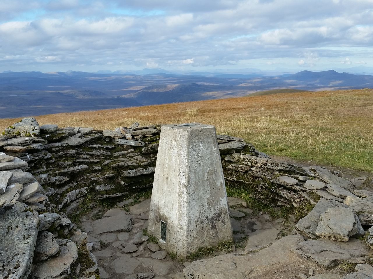
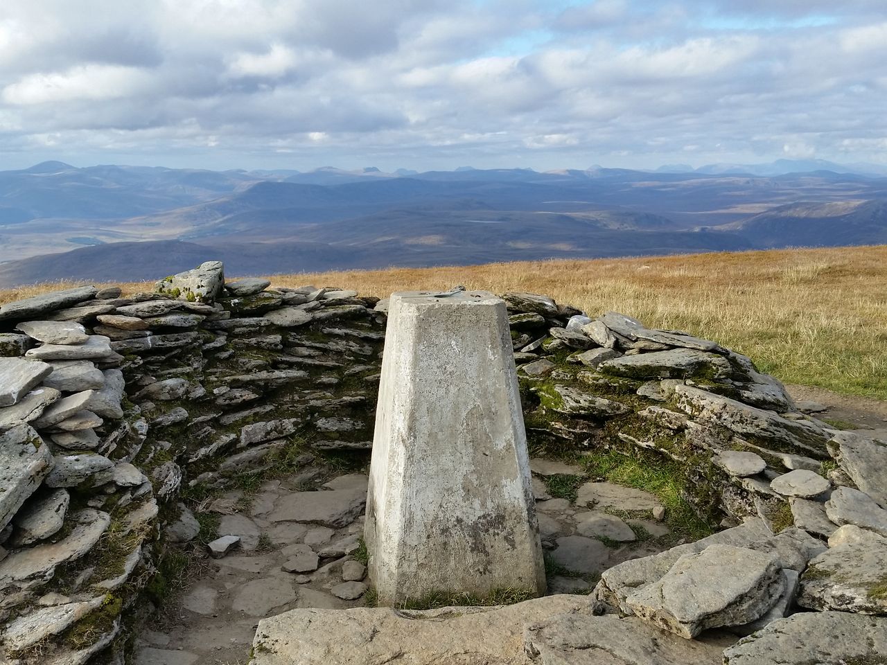
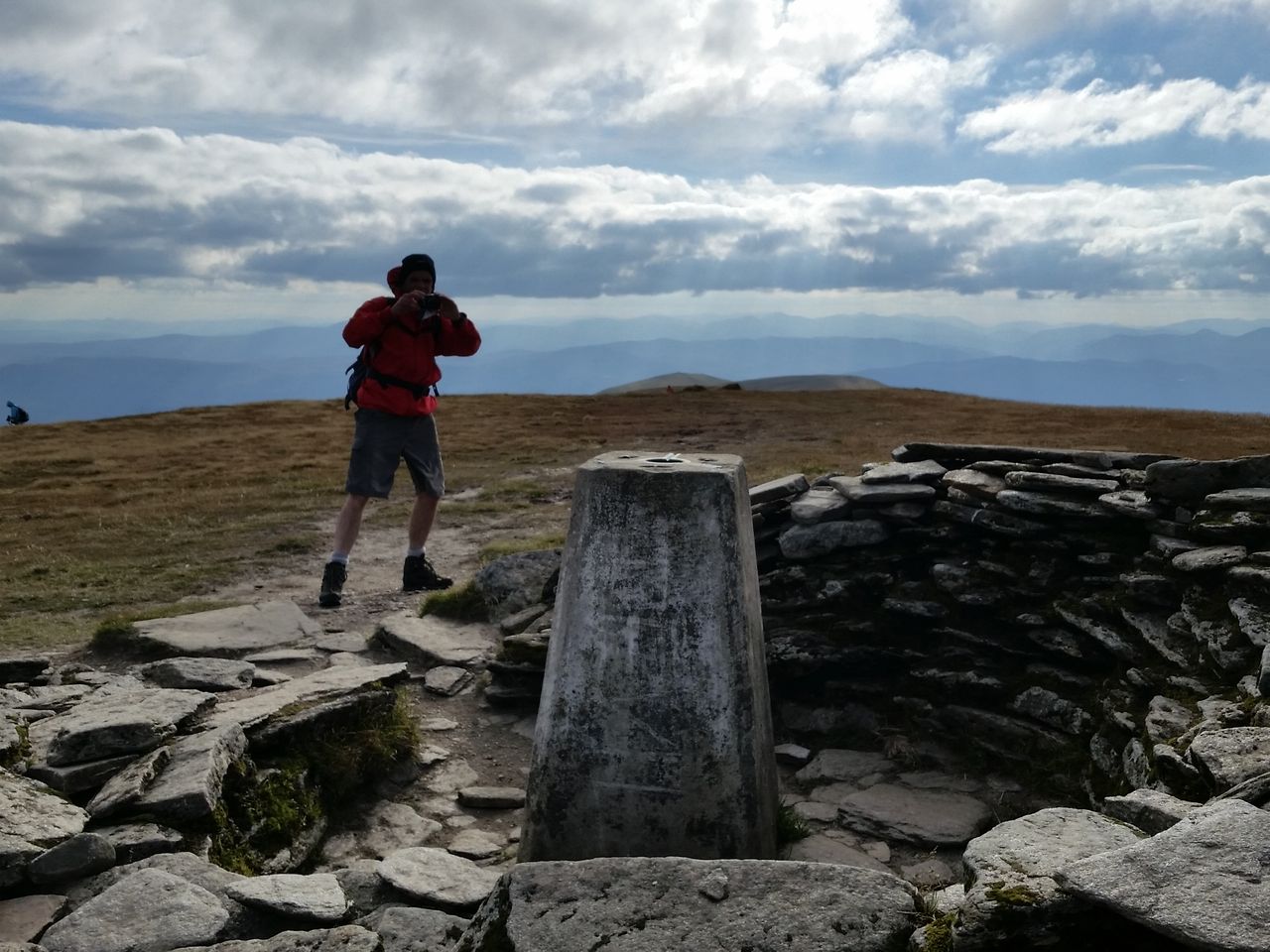
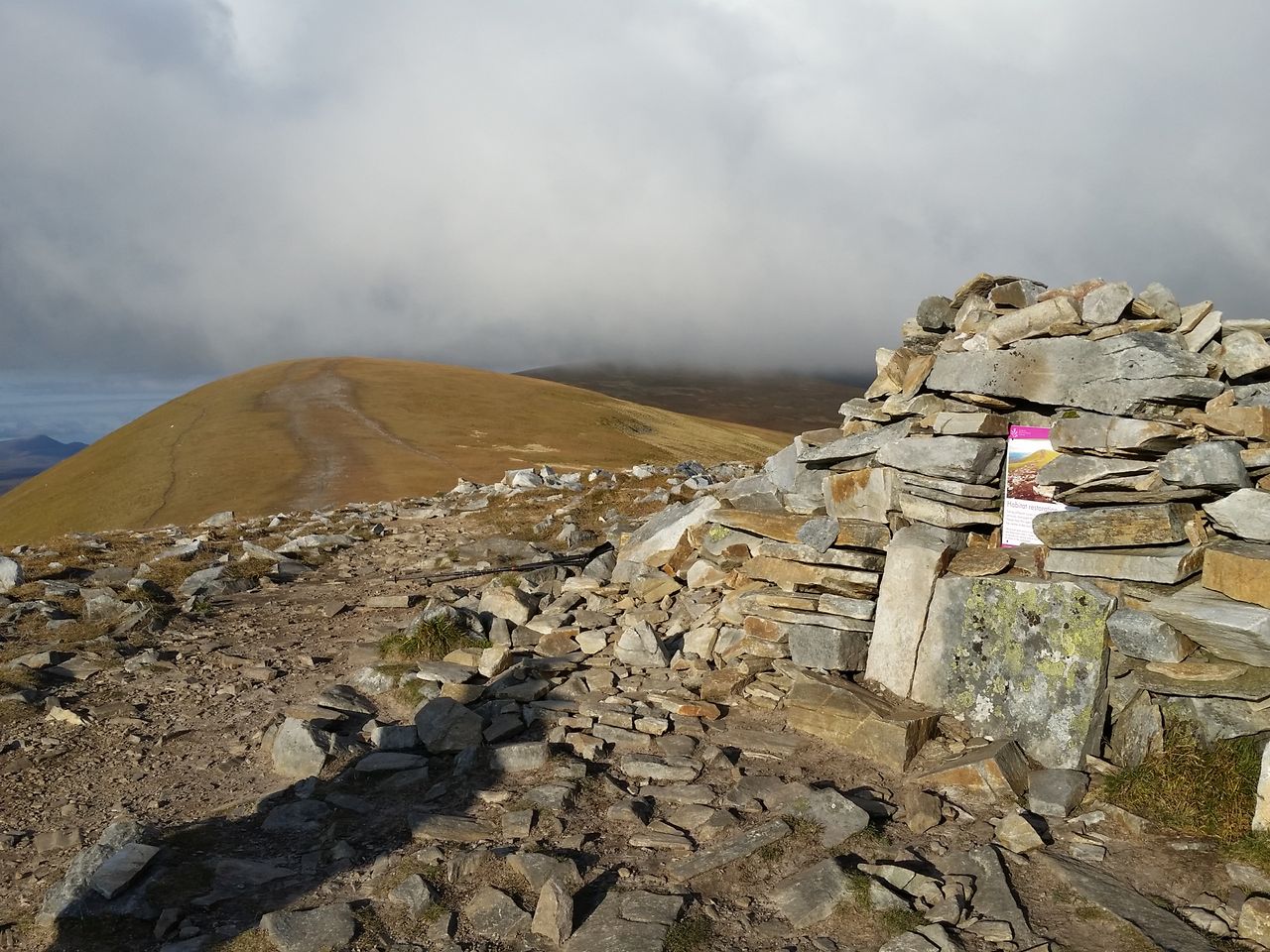
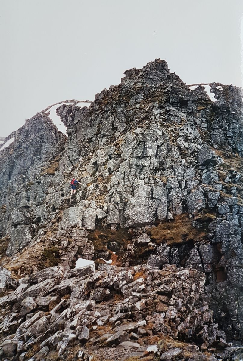
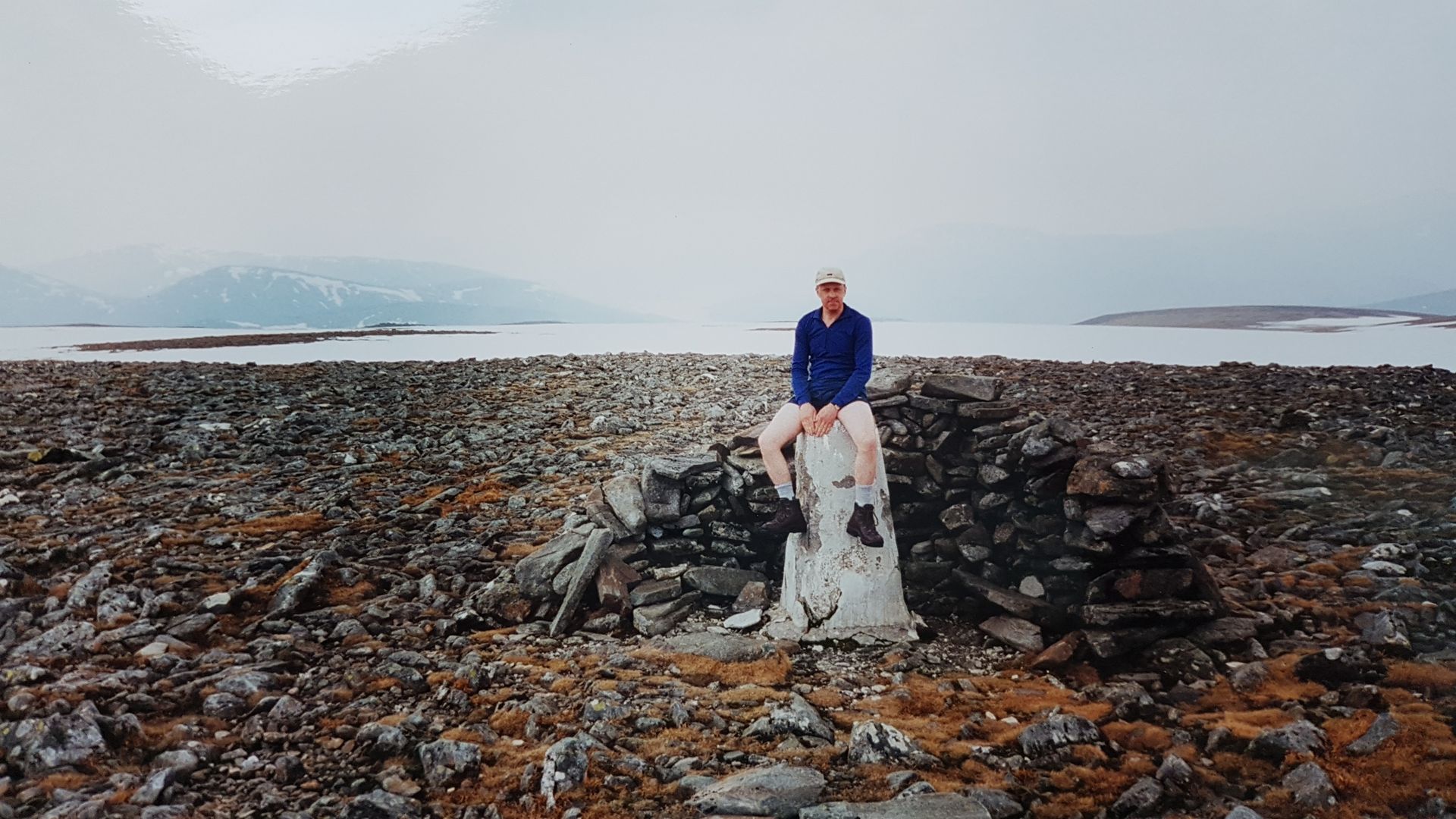
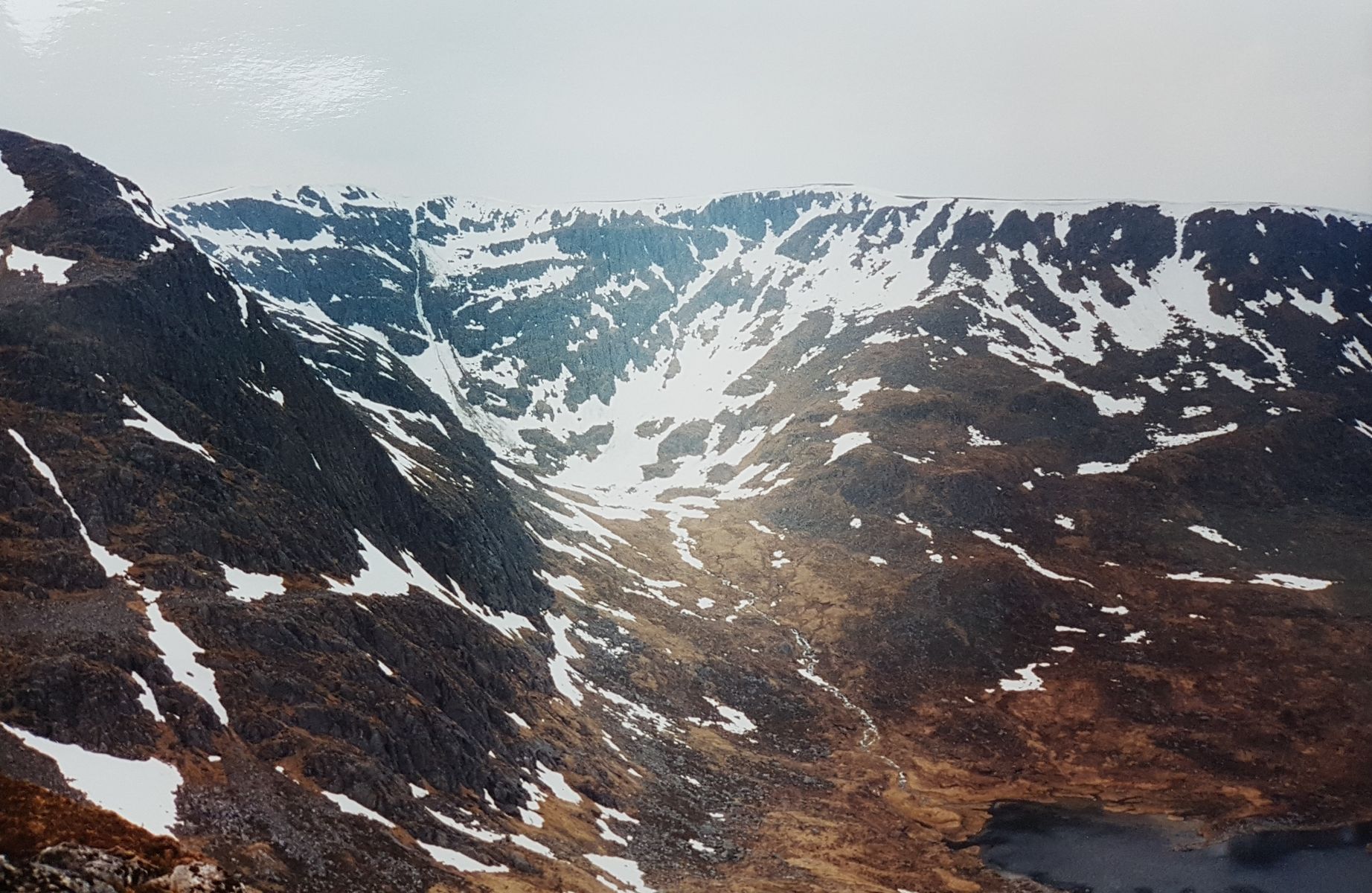
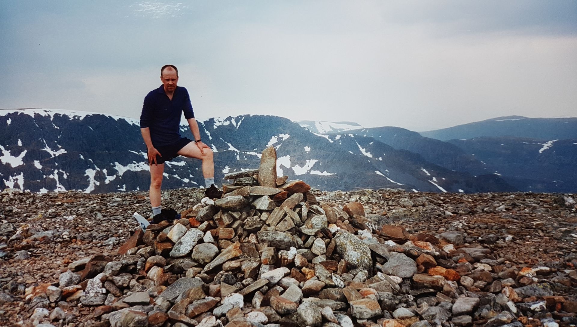
We took the Long Leaches ridge which turned out simpler than it looked, little memory except that it involved some scrambling, eventually reaching a flat top then on to a cairn with a trig marking the highest point. Disappointing ‘summit’ for such an impressive mountain, a big bulky massif with nice sides. We were happy though having reached our goal, always a satisfying moment just a pity about the longed for views. Unfortunately we couldn’t see far at all, hardly anything west no Rannoch Moor, Glencoe, Nevis range etc which was a big disappointment.

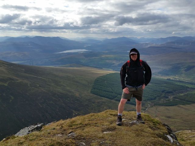
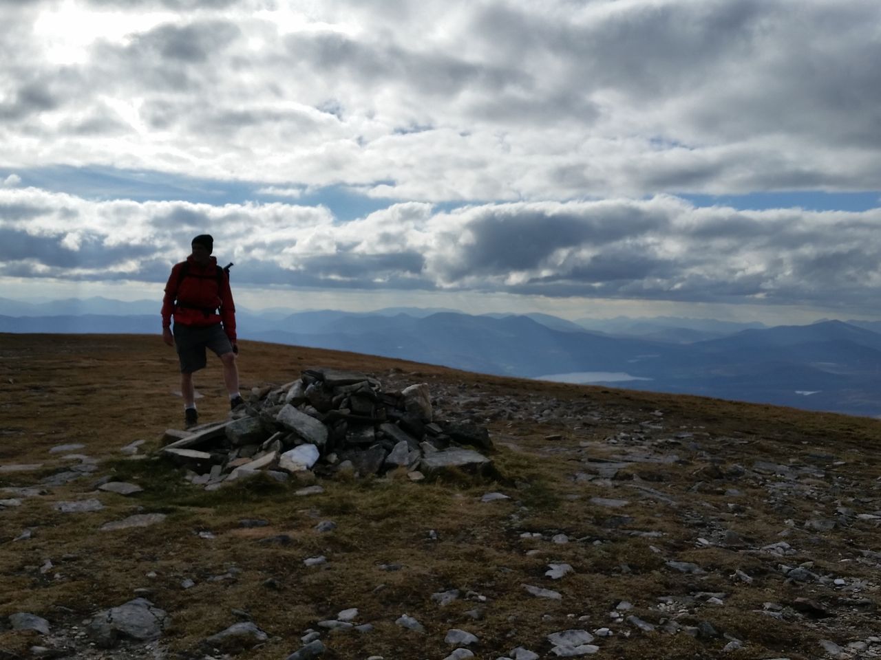
I’m mid left, in shorts, it was that warm

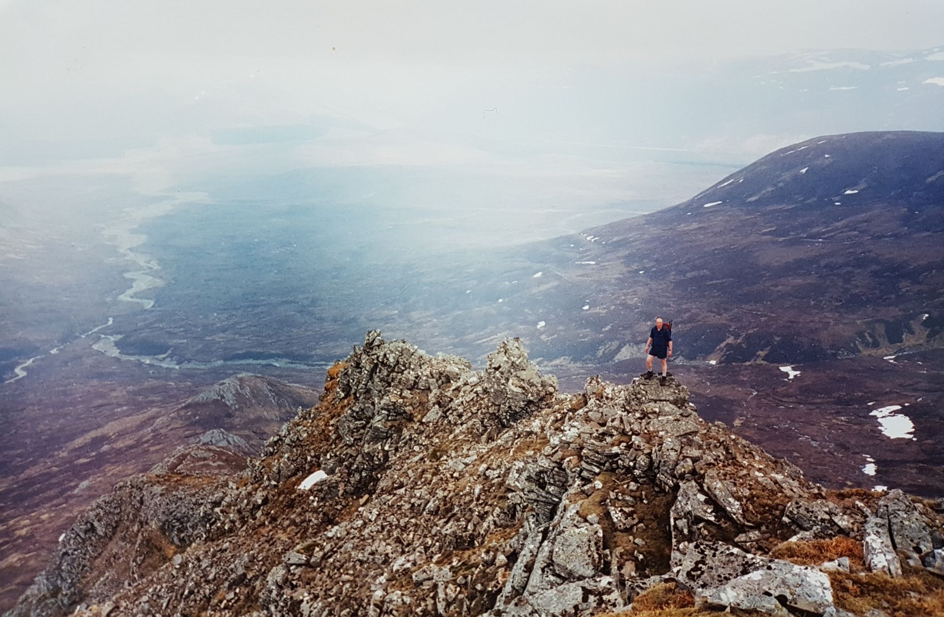
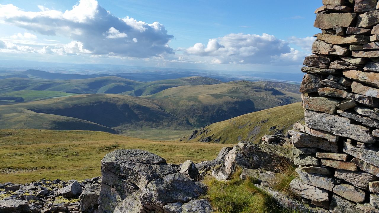
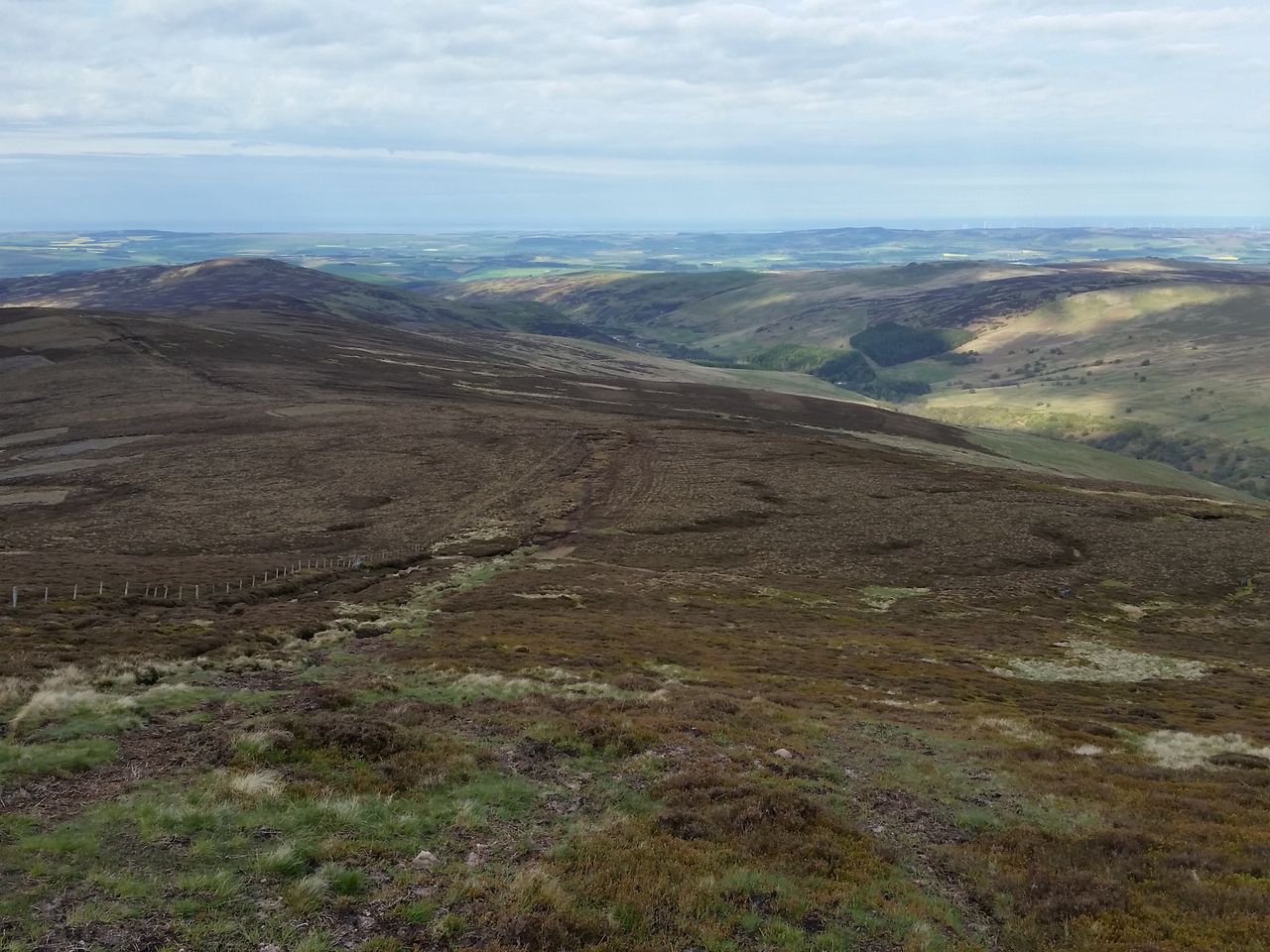
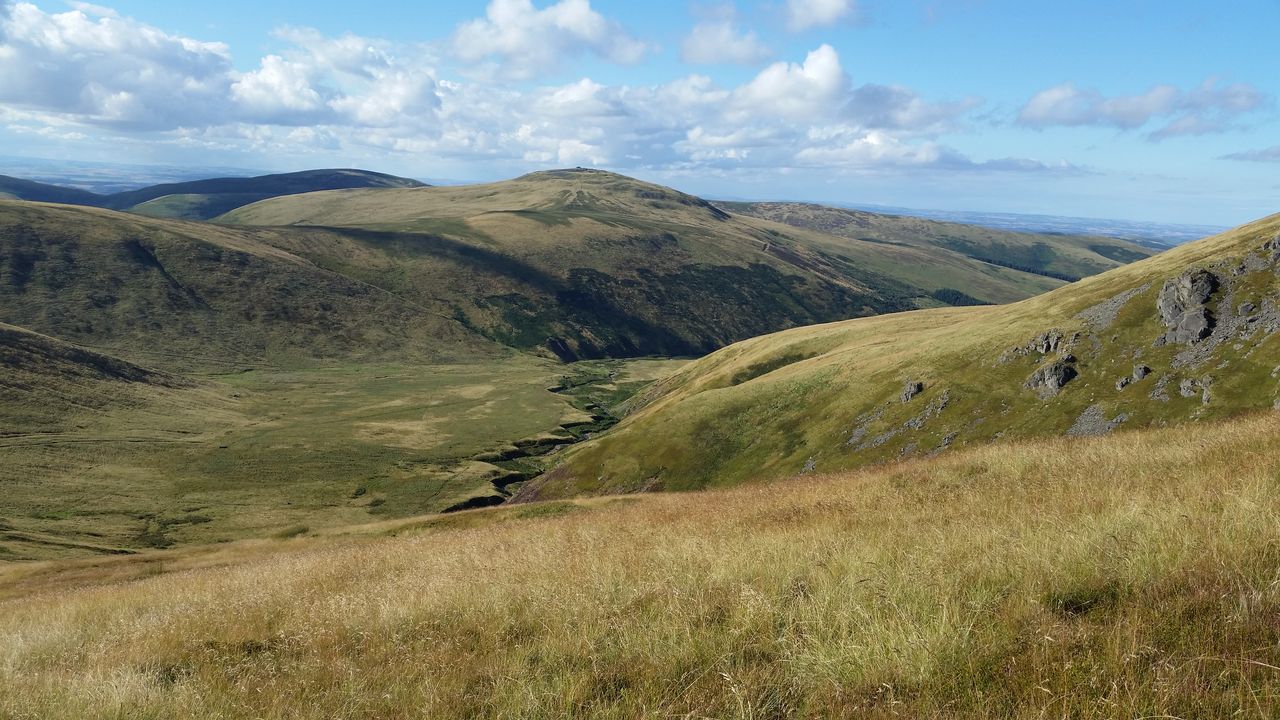
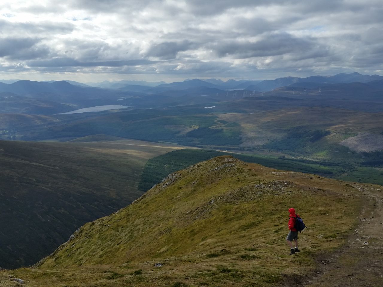
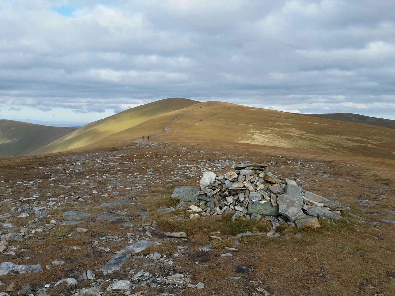
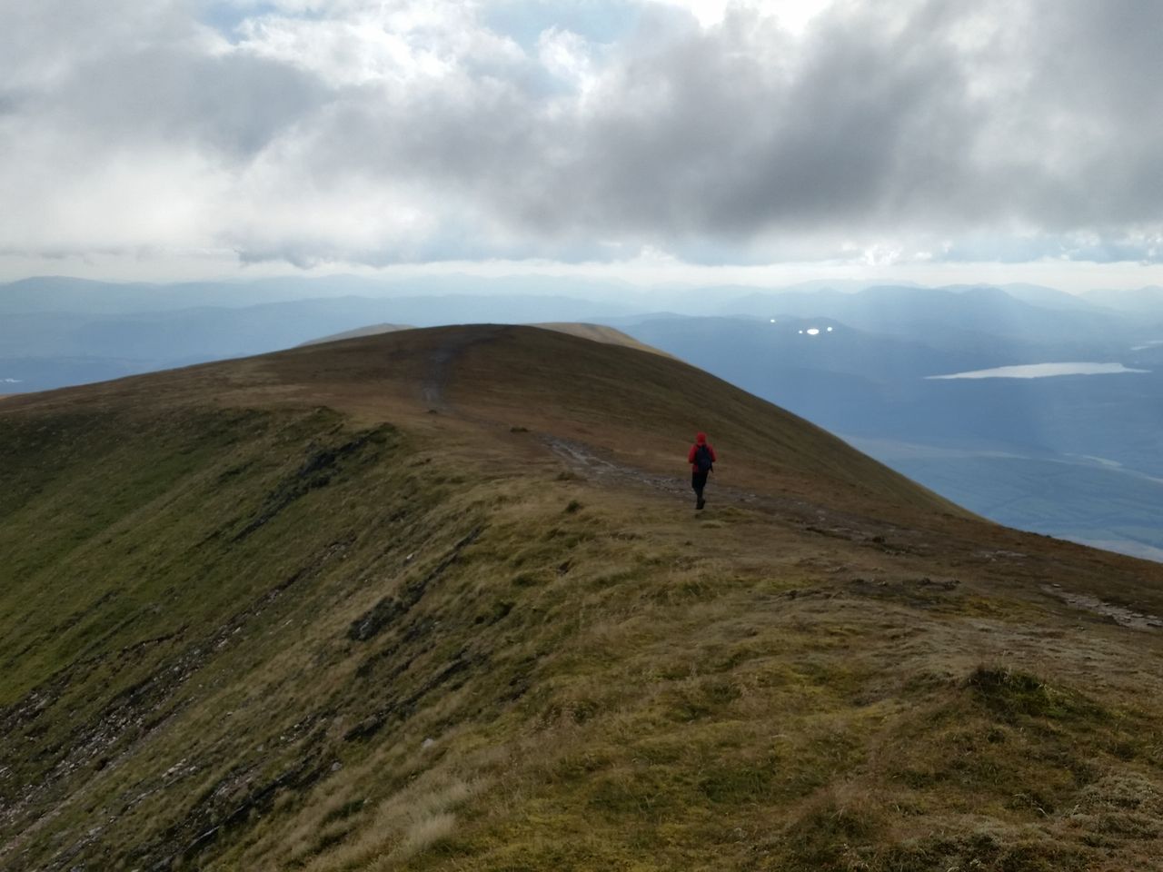
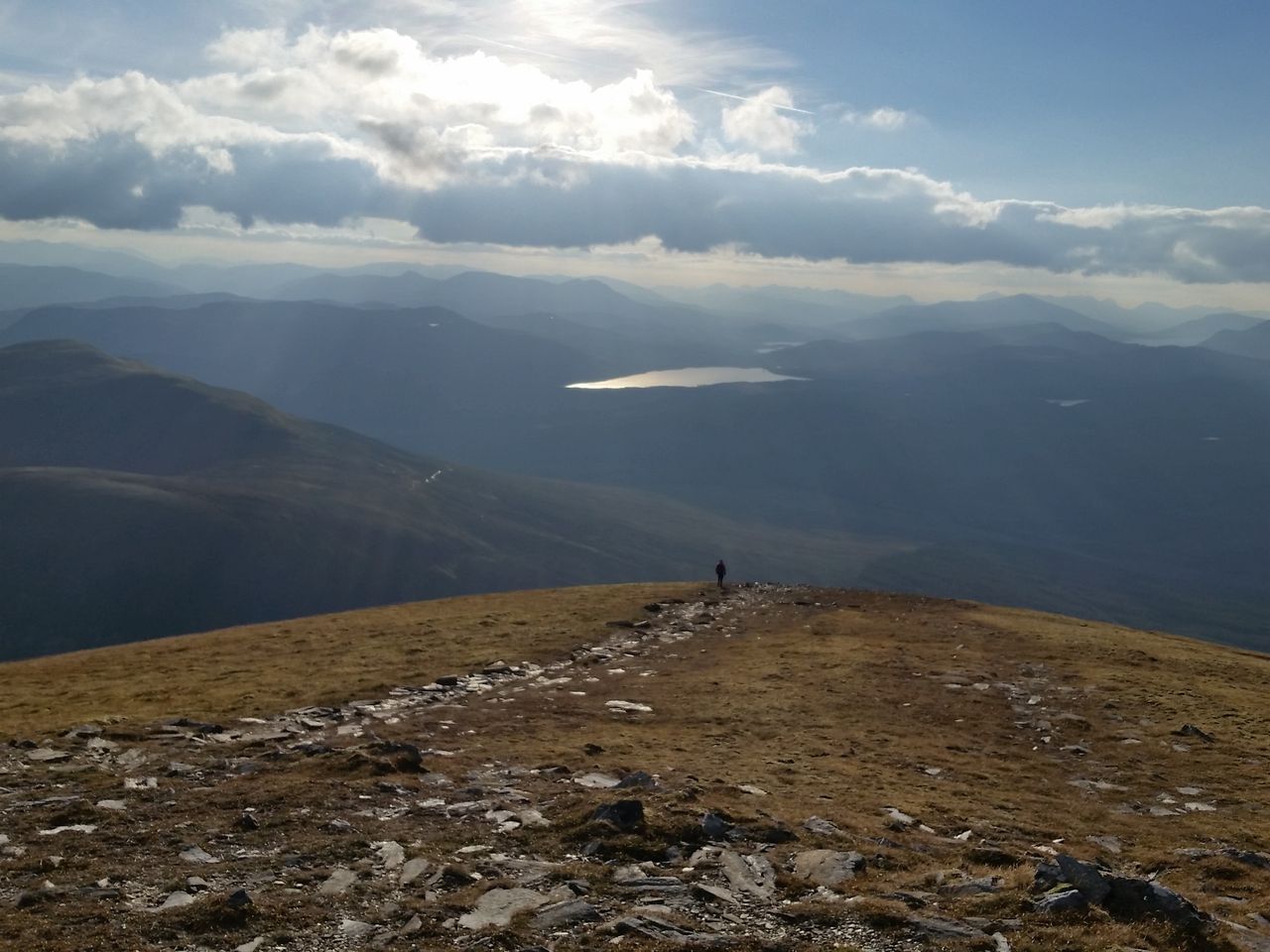
Sat on top having switched to shorts for the ascent, it really was that warm. After refueling we set off to cross the Ben Alder plateau, no place to be in deteriorating weather of course, but remember there was no chance of rain, actually it did look a bit dark in the west but we ignored this and carried on. We successfully traversed the plateau which unsurprisingly was flat, as plateaus tend to be hence the name. Then onwards curving east and up towards the second Munro, Beinn Bheoil.

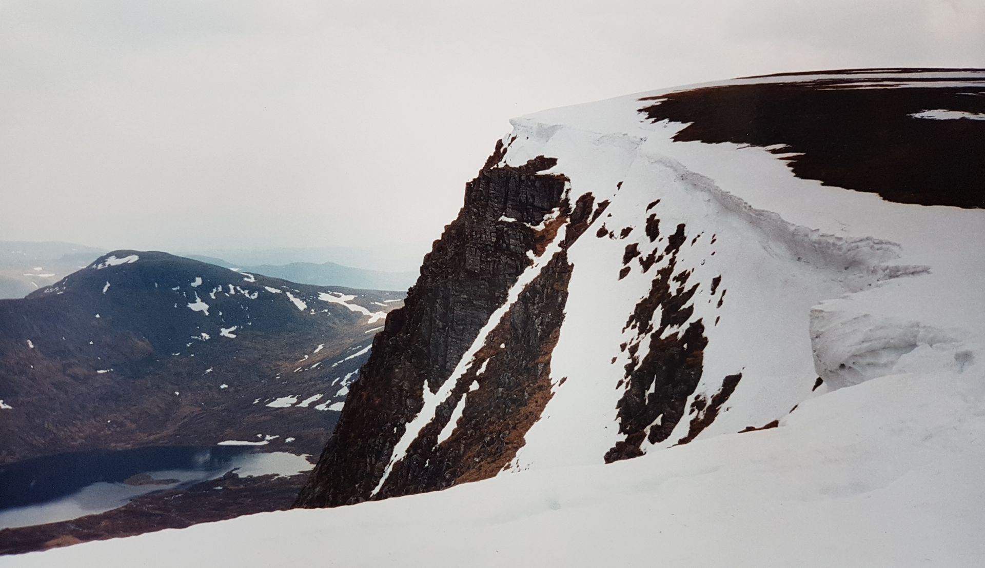
Alder looked great from here though Beinn Bheoil was the better top. Still no cover in rain, not that it was going to rain. That dark sky though did seem suspiciously worse which we manfully kept trying to ignore, hoping it would go away.

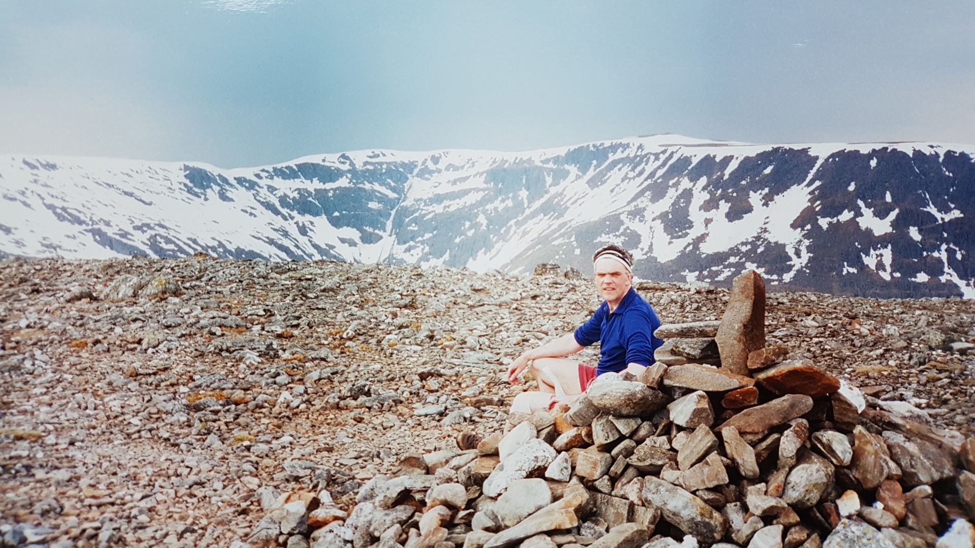
Relaxing on the summit cairn there was suddenly a big bright flash, then a rumble, another flash and a rumble. An electric storm was approaching fast from the west. Amazingly by some divine intervention and in full view of the Ben Alder Plateau, the weather had indeed deteriorated. Maybe twas the curse of Irvine Butterfield come to haunt us, “they whom traverse the plateau shall suffereth the weather of deterioration“!

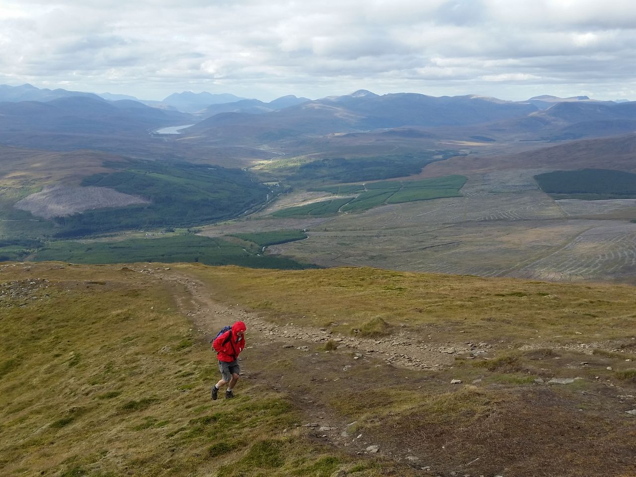
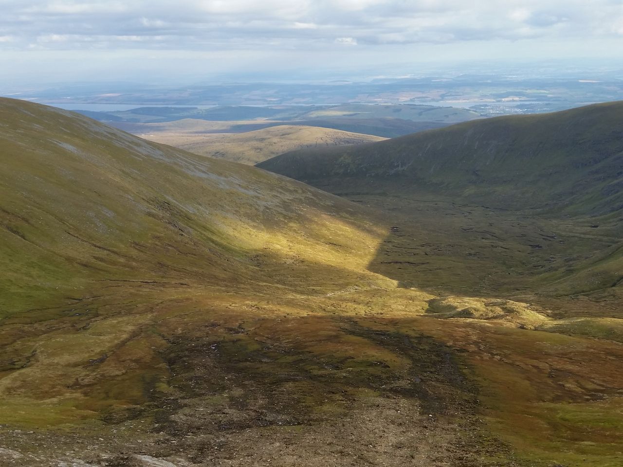
We raced off that flat featureless mountain top as fast as legs could take us, (not very fast). I kept close but not too close to Alan, theory being his extra height would act as a lightning conductor keeping me safe, I’m sure he would have wanted it that way. All a little concerning as there was no cover anywhere so we just dropped height as quickly as possible. The rain started and we got wetter than the proverbial soup sandwich, luckily no lightning strikes (I felt relieved for Alan). In what seemed no time at all the rain eased as the storm passed and we were back at the bikes, which fortunately hadn’t been stolen.

Everywhere was soaked as we started the 9 mile cycle ride back to Dalwhinnie, initially a pleasantly flat ride across open moorland till we reached the more undulated forest track. At the first downhill I applied the bike-hammer-brake™ but nothing happened, I tried again, and again, and again. This moment revealed a fatal flaw of the whole bike-hammer-brake concept, zero friction in wet. I blame the developer and a testing process carried out exclusively on dry flat roads.

And so what should have been a pleasant end to the day turned into a slightly intense ride back with zero brakes. The few steep uphill’s became nervy whereas downhill’s escalated to a more catastrophic level. One memory being a dip with large metal gates followed by another dip, I’d sent Alan down ahead to open the gate to let me whoosh through. Couldn’t regulate my descent so was gaining speed all the time, too fast to put my feet down I tried zig-zagging then shouted for Alan to quickly close the gates so I could thump into them. Only way to stop before the next descent, (please don’t tell Pam).

Eventually the road eased and we reached the car, smiles all round, adventure over, time to drive back to Edinburgh. However in our rush to get an early start from Dalwhinnie we hadn’t had time to top up the petrol. No issue here though as there was a petrol station in the village. Arriving at the garage something seemed odd, a few cars were queued amid an air of confusion. The petrol station owner approached;- “sorry lads but we’ve ran ootta petrol, we get more tomorrow”. We asked where the next petrol was, “aye the next garage is a few miles up the road”, relief all round then;
“but that closed 2 years ago”. Sometimes life feels like a comedy sketch.

Nearest petrol was over 30 miles north or a bit further south, we didn’t want to go north but didn’t have enough fuel for south. My Renault 5 was unleaded but the garage did have some 4 star, so we put a little in hoping it get us to Pitlochry without destroying the car.

So after the nervy descent from Beinn Bheoil and nervy bike ride to Dalwhinnie, now a nervy drive to seek petrol. Maintaining an optimal fuel saving speed we eventually made it and found sanctuary and relaxation at the Moulin Inn. Nice pub, decent pint and a chicken meal remembered predominantly for it’s preponderance of juniper berries.

Later, back at Edinburgh our options were clear;-
1. Unpack the car, have a nice cuppa tea and much needed early night.
2. Go for a pint. (we chose option 2)

PS: getting soaked wasn’t an issue in that warm weather, but lessons we did learn were;-
• always pack a waterproof
• always keep the car fuel topped up
• beware Geordie scientists
• never rely on a bike-hammer-brake™

Huge thanks to the late Irvine Butterfield.

Posted in Scottish Highlands & Skye, Uncategorized | Tagged , , , | 2 Comments

The Wall Years – Two Men’s Competitive Obsession on the High Section of Hadrian’s Wall

Everyone loves the high section of Hadrian’s Wall, all that spectacular scenery, a great place for a stroll, maybe visit Sycamore Gap, have a picnic, see what the Romans did for us. That’s what normal people do isn’t it?

For hillwalkers it offers even more, an undulating country walk full of variety and fantastic views yet always close to a road. Bit like walking a mountain ridge without the 2,000ft lung busting ascent. Honestly can’t remember my first visit as it was many years ago but it must have made an impression as I soon went back.

It was reasonably local too, less than an hours drive and even closer when staying at my mates in Hexham. I’d park at Housesteads, walk up to the fort then follow the Wall westwards. There was an obvious turning point at a white trig pillar marking the highest point on the Wall, up on Winshield Crags.
By 2002 this had become a regular seven mile training walk to maintain hill fitness for bigger stuff in the Lakes and Highlands. My mate started joining me, let’s call him Alan, so as not to protect his anonymity. Alan started working weekends which made walking together rarer, he’d do weekdays, I’d do weekends.

I started checking how long it took to the trig, as you do, then strolled back a bit slower. Over a pint I casually mentioned my quickest time to Alan. A few days later he texted me casually mentioning his time. It was a faster time. I found this irritating!

And that’s kinda how it started;-
Hadrian’s Wall became known as simply, ‘the Wall’, and our lives would never quite be the same again, (cue dramatic music)!

The Obsession
Over the next three years the obsession took hold.
At first simply trying to walk a few seconds quicker than the last time, then a bit of jogging on the downhills, then a bit more on the flats. I’d text Alan my time and vice versa, occasional new records were set which gave some extra motivation for the next attempt, harmless stuff really, at first.

One day I forgot my boots so did the walk in my old Hi-Tek trainers. Concerns about possible broken ankles were soon overtaken by a feeling of lightness and freedom I’d never experienced before, it was wonderful, a seminal moment. Even better, I knocked 4 minutes off my record, 4 minutes! That’s a lot of seconds! Couldn’t wait to text Alan that one, just knew he’d be pleased for me. Took the bugger ages to beat it anyway:-)

Weather and fitness varied, if I missed a weekend it became nearly impossible to do a faster run next time. Meanwhile my opponent Alan lived nearer and was getting out more, he was walking to work whereas I was driving to an office. I needed more exercise! I tried cycling, then swimming, both of which helped stamina but did little for Wall record success. In desperation mode I started jogging round the block at work breaks – wearing trousers, shoes and shirt. Must’ve looked a bit strange but I was already obsessed.

Then a second seminal moment, I tried a quick midweek dash over to the Wall after work. It was a revelation, far cooler in summer and immensely quieter – pure pleasure AND perfect timing for a pub meal and pint after.
Evenings were discovered, which meant Alan could join me on the Wall once again, so we moved to the next stage, racing!

The Racing
Friday evenings after work I’d drive west along the A69 and pick Alan up near Hexham roundabout.
We would start together from Housesteads car park and race each other to the trig point at Winshields, no more texting anguish, now the shit got real!
These were the peak Wall years, totally obsessive, yet somehow satisfying in a sadistic crazy old man kind of way!

The Course
Arrive Housesteads, get ready, tighten rucksack, check laces, start cold to avoid layer-shedding delays, first rule of Wall club was every second counts!
Start the watch at the gate, jog downhill then the long uphill path through the tourists up by the Fort to the Wall, pace yourself.
Heart pumping, reach for a quick gate-opening then turn west along the Wall. Through the trees out into the open past the first Milecastle. Downs/ups/steps/grass/mud/stiles/gates, it had it all.
The big dip down to Hotbanks Farm, treacherous at speed in the wet, then a good flat running section before the subtle rising twisty path through trees up to Crag Lough. Gulp for air and hopefully a cooling breeze overtaking less energetic people admiring the spectacular cliff top panorama.
Next though came one of the biggest problems on Hadrian’s Wall, Sycamore Gap!

Yes flippin Sycamore Gap, the Robin Hood Tree, famed by Kevin flippin Costner and Morgan Freeman, iconic, photogenic and full of bloody people. Our hearts would sink as we approached the hordes of ponderous pedestrians and static sightseers. All of em potential obstacles to a serious record attempt. Would only take one doddery dawdler on the steep steps to ruin the whole day. Many a time we had to hurtle off-piste in a desperate attempt to maintain maximum momentum.

Next hurdle was clattering down narrow cliff steps to Steel Rigg, another potential nightmare for us obsessed accelerators. How we didn’t break something dodging tardy tourists here I’ll never know. But the end was near, after a tough pull up to the road it was through the gate leaving tourists behind and the white trig twinkling invitingly ahead. Just a final sting in the tail as it’s uphill all the way. One last effort then the pain can stop, just keep going, keep checking the watch then eventually embrace the trig and relax, it’s done.
Next came an instant analysis of where it all went wrong and plan for next time!

The Psychology ‘By failing to prepare, you are preparing to fail’
I’d prepare myself silently in the car park, some quiet contemplation, banish any negative thoughts, get psyched up, couple of stretches, usual stuff etc.
Alan was more complicated, he had to prepare for failure. If he expected to fail then it avoided the potential devastating emotional damage of defeat. Not only did he master visualising failure, he felt compelled to share his vision verbally, as we neared the start;-
“I’m not up for this”……….”My legs are aching”………..”Not sure I’ll get all the way”

Just three examples, these became more convoluted each Friday, his classic being;-
“Look if I stop you carry on, I’ll start walking back, text me from the top then catch me up on the way back”. Lets examine the detail here, not just your average, ‘not feeling great’, there’s actually specific instructions on how to deal with his failure!
Then the ailments arrived, he loved a good ailment;- pulled muscle, strained thigh, tweaked calf, runners knee, ingrowing toenail, bruised groin, anything. None of which ever seemed to affect him!

This wasn’t even a deliberate ploy but somehow still managed to tunnel into my quietly contemplated subconscious. I would always start quicker, he could never catch me up to Housesteads Fort, in fact he never liked that section, too many people, he doesn’t really like people. As I steadily established that early lead I’d begin to believe that hopefully he was really suffering this time. But he didn’t fall away as expected, he would slowly close the gap and reel me in. Next came my nemesis through the trees above Crag Lough, I always struggled at this halfway stage, I imagined it flat but in reality it was a gradual climb ending in the steps of doom. That’s where the long-legged bastard would catch me, that’s when I’d get the; “I’ll carry on but you’ll probably catch me up before the top”, yeah I’d heard that one before.

The Low points (there were many)

  • The random text alerts from Alan saying, I’m off to the Wall– then silence, the despairing wait, knowing your immediate future lies in the balance. Eventually a crucial second text;- Well I didn’t feel great, inflamed ankle, made a slow start…….but managed to recover and get a new record.
    There was always a ‘but’, why couldn’t it be something negative like; “but I slipped and was savaged by a sheep”. Now my life was condemned once again to the pain & torture of trying to beat it.
  • The pain & torture of trying to beat it – ooh there was plenty of this, forcing your body through to the end, all too often it was no fun for old men.
  • Section timings;– how these became ingrained. Reaching the fort from the car park, meeting the trees, the top of Crag Lough, Sycamore Gap (bleedin tree), Steel Rigg and the road. They all had one thing in common, we knew the feckin times to each and every one. No record was possible without being very close to those times. You couldn’t just do one section quickly and get away with it, no it had to be a sustained effort. Alan still thinks section times in his sleep.
  • Becoming consumed! My whole week was prepped for it, diet, exercise, freeing up leisure time, the number of alternative weekend trips I turned down to places like New York, the Maldives, Galapagos etc. I’d be thinking yeah it’d be nice but those Wall records don’t happen by accident. We lost our souls to the Wall.

THE HIGH POINTS (luckily there were many)

  • Driving along the Military Road;- the anticipation, the scenery, varying light, views, wildlife, fresh air, exercise.
  • Becoming addicted; the sheer fun of whooshing downhill, dodging mud, rocks, sheep, slow people, being outside, feeling fit, feeling alive.
  • We knew every step, every rock, every dip, descent, ascent, the best line to take where ground was firmer, best way to climb each stile, how each gate opened.We understood seasonal differences, late autumn and winter would become too soggy and muddy, summer brought firmer ground but was often too warm for record attempts, especially in the warm sheltered dips.
  • The trig pillar;- (we always called it Steel Rigg, but technically Winshield Crags).
    Our refuge of utter relief and the best views, you could sit and gaze to distant Cross Fell, Cheviots and on a good day, Solway Firth. From here we strolled back to the car.
  • The post-walk pub food & real ale;- could look forward to this all the way back to the car, often whilst pounding up to the trig too. A feeling of smug satisfaction that you’d had a damn good workout and the weekend had hardly started. Beer always tasted better after a Wall attempt.

THE END
One fine evening September 29th 2004, we arrived together at Housesteads for a last record attempt before autumn. Despite Alan complaining of a slight hamstring strain we were fit, we were ready and we set off. It felt good, split timings were very good, a silent awareness grew that this was the day, this was the one. Concentrate, don’t cock it up, ignore pain and potential heart attacks, timings were everything. I checked the watch whilst crossing Steel Rigg, this was exciting. To Alan’s credit he could’ve gone faster at the end, but he stayed with me and we reached that trig together. We set a highly impressive new record, a joint record and it was immensely satisfying, a great feeling.

Sadly the one thing we didn’t realise was this would be the last great run, this was the end, that joint record still stands, we would never go faster again.

Next spring my knee problems started, I tried ignoring, tried exercising and running through it, took ibuprofen, eventually saw a doctor, then a specialist, paid for a private MRI scan and X-ray. Two years later I had a knee op and the specialist confirmed I’d worn my cartilages, virtually bone on bone. Could still hill walk but with care. After months off I started back slowly, obviously running was not recommended, but still tried, it was the Wall after all. Sadly had to concede that running aggravates the knee pain so it had to stop. Years later both knees can ache in the hills, and every time it reminds me of the Wall.

Nowadays I seldom do the Wall, my knees are happier and stronger in the gentle Cheviots, no clattering down steps and sharp up & downs. But if we do go back we both suffer memories of section timings and an urge to go faster. We were scarred for life, for me it was cartilage for Alan it was section times, he still wakes up screaming. Or is that constipation, perhaps, we’ll never know.

THE EPILOGUE
We weren’t that great, proper runners could run uphill, we never could.
All we did was gradually get faster, timings were only relevant to ourselves and our mini competition.
But up on the Wall mere walkers saw us as super fit blokes, many would stand aside to let us pass, nudging each other with admiring glances, muttering muttery things. For a brief period we were athletes, we were contenders, we could have been fell runners -almost, well in our minds at least!

Many a Friday evening strolling down from that trig with a setting sun casting a golden glow across the landscape, I’d say to Alan prophetically;-
“most guys our age are at the pub right now whilst we’re up here, it’s fantastic, make the most of it, these are special days and won’t last forever”.
They didn’t of course but despite the pain and anguish they were indeed great times.

Was it worth the knee damage?
Course it bloody wasn’t, but that’s not the point.

Right, it’s Friday night and like most blokes, I’m off to the pub 🙂

Research – All about Alan In Praise of Hillwalking Companions – Mine’s an Alan!

7 miles out and back on the high section from Housesteads (again)

Posted in Hadrian's Wall, Northumberland | Tagged , , , , , | Leave a comment

Probably the best route up the Cheviot from Langleeford – via Lambden Valley, College Valley and the Hen Hole – (13 miles)

For many of us the Cheviot often seems a big boring lump of soggy Northumberland peat. But at 2,674ft this is England’s highest point outside the Lakes & Pennines. It’s few interesting features are hidden away on the remote north western edges (best accessed from the College Valley). Unfortunately those of us approaching from the more populated south east get the boggy lumpy side!

There’s three familiar route options, all from Langleeford in the Harthope Valley ;-

  1. Direct route up Scald Hill – popular, increasingly tedious, often annoyingly boggy
  2. Follow the Harthope Burn up the valley – some like it, not keen myself, feels hemmed in with limited views.
  3. Via Hedgehope – often climbed after the Cheviot but can be done first. A fine hill but in either direction the peat hags over Comb Fell are rarely less than unpleasant, spoiling what could be a fine route. Best kept for a dry period or after frost.

However here’s a fine fourth alternative, avoiding the Scald Hill ascent by a diversion north west. This longer but hugely more interesting route continues around the Cheviot then clambers up through its very best feature. Put simply, the best route from the east is simply to ascend from the west!

Covering 13 miles, 3 valleys and 3,300ft of ascent, this circular walk starts in Harthope Valley, through remote and peaceful Lambden Valley, joins remote and peaceful College Valley, then ascends through the fascinating craggy waterfall-filled Hen Hole. The Cheviot’s bog filled summit plateau is traversed on the firm slabbed path, with a final fairly rapid descent over Scald hill back to the car.

If you never felt any affinity with the Cheviot then try this. You’ll leave with a greater understanding of this remote area, and you might just begin to like it.

The Cheviot via Lambden Valley, College Valley and Hen Hole from Langleeford

The Cheviot via Lambden Valley, College Valley and Hen Hole from Langleeford

  • Distance  =   13 miles (21 km), anticlockwise
  • Duration  =   6hrs, (start 12.50, finish 18.50)
  • Total Ascent  =   3,300 ft (1,006 m), max height the Cheviot 2,674 ft (815m)
  • Start/Finish  =   Car park east of Langleeford, Harthope Valley, Northumberland
  • Walk Date  =   Sun 15th May 2016 (some late summer photos added for contrast)

Park at the popular grassy parking area near the end of the single track road up Harthope Valley, just before Langleeford Farm. Take the usual Cheviot route by walking westwards along the road. Almost immediately, leave the road at a small bridge over Hawsen Burn. The aim is to follow the north side of the Hawsen as it curves westwards. Avoid an inviting low path along the burn banks as this has become eroded and is infested with dense bracken in summer. It’s a faff, so instead angle northwards from the bridge up a feint track through heather as if heading directly to Cold Law. After 30ft or so veer north west keeping high above the burn. Trust me, it’s worth it. Soon the feint track turns into a path which joins a much wider access path still high above the burn.

The Cheviot via the Hen Hole from Langleeford

Turn off the road northwards on the east side of the Hawsen Burn. Don’t follow the path by the burn, go diagonally up a few feet to find a higher track

the-cheviot-via-the-hen-hole-from-langleeford_50

Same spot in late summer full of dense bracken

The Cheviot via the Hen Hole from Langleeford_1

View back down the Hawsen valley after a few mins walking

Stay on this path, keeping to the left as it splits (photo below), gently rising north westwards. I tried a signposted track closer to the stream but this just slows you down, especially in summer. Not the most inspiring scenery so far, best views are backwards. Heard Cuckoos and saw my first Ring Ouzels, which livened things up.

Path spilt

Path splits, go left

The Cheviot via the Hen Hole from Langleeford_2

Looking back east again from higher up the Hawsen Burn, Cold Law left

The Cheviot via the Hen Hole from Langleeford_3

The Cheviot suddenly reappears to the south west but our route heads round the lumpy thing to the right

Once the path levels, continue westwards by one of the heather tracks to meet a fence. If lucky you’ll end up opposite a wooden gate, if not then just follow the fence north till the stile appears. Do try and use the tracks as the heather ground is not particularly invitin,g unless you’re a grouse. Once across the stile, follow a path westwards.

The Cheviot via the Hen Hole from Langleeford_4

Cross the stile to start the Lambden Valley section

And on a nice late summer day

And on a nice late summers day

Lambden Valley – Now for a change of scene as the Lambden valley opens up ahead. Flanked by the Cheviot’s more attractive northern side, these are pleasant views many Cheviot baggers never see. The path descends gradually through heather moorland, watch out for hidden holes in the last section, harder to see in summer.

The Cheviot via the Hen Hole from Langleeford_5

Lambden valley ahead, the Schil on the horizon, head for the wood

A forest vehicle track is joined briefly then continue to a small wood below Preston Hill.

The Cheviot via the Hen Hole from Langleeford_6

Follow path round to the wood below Preston Hill

The Cheviot via the Hen Hole from Langleeford_7

Go over the gate then left along the side of the wood round a fallen tree

This used to be simply a bit of fun winding through the trees dodging conifer branches before emerging into the open. However recent tree falls have barred the initial woodland path. Best go over the gate and round the wood along it’s north side. Once past a fallen tree either follow the fence or nip over it back into the wood to find the path. This can be full of ferns in summer, so if poss try to get back into the wood.

The Cheviot via the Hen Hole from Langleeford_8

By-passing the trees, easy in May, less so in late summer

Bracken

Leaving the wood, head straight on, through more bracken in late summer

The Cheviot via the Hen Hole from Langleeford_9

Westwards along the open Lambden valley descending gradually

This is now an attractive valley walk, more open and varied than the upper Harthope. It’s pleasantly peaceful here, colours vary through the seasons and the Cheviot shows off it’s finer side. Continue west over a small stream then sharp right over another stile to emerge above remote and lonely Goldscleugh. Cross a larger stream then pass the abandoned farmhouse and inhabited bungalow to join a pleasant little road section to Dunsdale.

The Cheviot via the Hen Hole from Langleeford_10

Remote and lonely Goldscleugh

The Cheviot via the Hen Hole from Langleeford_11

Now along the private road to Dunsdale, nice views down to the river on the right

Amidst the air of solitude Dunsdale is now a holiday cottage so you might actually see a human being! Great views south up the Bizzle which gives an alternative route up the Cheviot. By now Langleeford seems far away, but remember that initial ascent, well you’ve just lost all that height gain just to arrive down here! But the best bit’s ahead.

The Cheviot via the Hen Hole from Langleeford_12

The Bizzle from Dunsdale, a rare feature on the Cheviot

The Cheviot via the Hen Hole from Langleeford_13

Looking back at Dunsdale

Walk by the south side of  Dunsdale cottage through a gate past the barn, then through the gate above (looking back east). Now to leave the Lambden Valley and start gaining a little height again turning south west still flanking the Cheviot. Another change of scene with views northwards down the College Valley.

The Cheviot via the Hen Hole from Langleeford_14

Looking back up (but really down) the College Valley northwards

The Cheviot via the Hen Hole from Langleeford_15

Looking to the route ahead with the Schil getting closer

The Cheviot via the Hen Hole from Langleeford_16

Now descending into the upper College Valley

Descend gradually through open ground then over a huge stile to ford the College Burn. Or before the stile head straight down and round the fence. The ford was a trickle in May but in late summer after a downpour was above boot height. I carefully traversed the stones using trekking poles for balance.

College Valley – Once over the river you join a wide path to the head of the valley. Now to follow the College Burn virtually to it’s source on the Cheviot plateau. College Valley has a well deserved reputation as a remote and beautiful place. Access is usually from Hethpool as vehicle access is restricted. A few cars are allowed up each day so you might see a few people at the Mounthooly YHA bunkhouse. Enjoy the situation and appreciate the variety on this walk.

The Cheviot via the Hen Hole from Langleeford_17

The main College Valley path south up the valley

College

Upper College Valley

Approaching the head of the valley you’ve reached the furthest point from the start. So far it’s been reasonably gentle which makes for decent progress. Now to finally turn back to Langleeford and start the ascent over Cheviot. Quickest route would be to follow one of 2 paths either side of the Refuge Hut, then trudge up to Auchope Cairn.

However if you want the best route up the Cheviot then take the Hen Hole, probably the most impressive hike in the Cheviot hills.

The Cheviot via the Hen Hole from Langleeford_18

Main paths go up to to the Refuge Hut, but we go to the left following the river bank

The Cheviot via the Hen Hole from Langleeford_19

Looking back down the valley to the Schil from the College Burn 

The Cheviot via the Hen Hole from Langleeford_20

Following the burn as it turns east into the Hen Hole

The Hen Hole – A hanging valley formed in the ice age, this is the surprise of the Cheviot hills. There’s an initial path but then you end up criss-cross the stream trying for the best line of ascent. Nothing difficult, hands on in places. It’s as though all the waterfalls in the Cheviots were scooped up and deposited in this narrow ravine. The photos below give the best description even on a hazy day. I had a smile all the way through, it’s pure joy.

The Cheviot via the Hen Hole from Langleeford_21

Entrance to the Hen Hole

The Cheviot via the Hen Hole from Langleeford_22

Triple waterfall

The Cheviot via the Hen Hole from Langleeford_24

Just keep going

The Cheviot via the Hen Hole from Langleeford_25

looking back at the refuge hut

The Cheviot via the Hen Hole from Langleeford_28

Another waterfall

The Cheviot via the Hen Hole from Langleeford_29

Keep stopping for photos

The Cheviot via the Hen Hole from Langleeford_30

Looking back from higher up

The Cheviot via the Hen Hole from Langleeford_31

Even better angle

Reaching the end is a mixture of relief that you’re through, with regret that it’s over. But by now you’re probably in a rush to get back, I certainly was. But you are still in the ravine which opens up before turning 90 degrees right.

The Cheviot via the Hen Hole from Langleeford_32

Hen Hole turning right

I tried following the valley round but the path petered out and I ended up scrabbling around on mossy slopes. Far better to simply turn south and scramble up directly up to Auchope cairn. A viewpoint is soon reached and on a fine day the vista is extensive. Such a contrast to what’s just gone before.

The Cheviot via the Hen Hole from Langleeford_34

View west above the Hen Hole into Scotland 

Auchope

Auchope Cairn on a fine day

Auchope

Auchope view late summer

You just have to stop at Auchope. Have some food, drink, anything, just gaze and take a moment. After all, it’s the Cheviot plateau next, not much fun there! The route is simple, follow the millstone grit pavement, part of the Pennine Way. Firstly to a gate and stile, then taking the path to the Cheviot trig.

The Cheviot via the Hen Hole from Langleeford_37

Joining the paved Pennine way to cross the Cheviot plateau

The Cheviot via the Hen Hole from Langleeford_38

Follow the yellow brick road, I mean grey millstone grit slabs

If you like bleak peat bogs then you’re in luck. Not much to be said for the Cheviot plateau, except be grateful you’re on stone and not floundering in the mire. It’s a means to an end, we are heading for the car and just as things get tedious, a giant weathered trig appears.

The Cheviot via the Hen Hole from Langleeford_39

Such an impressive monolith for such an unimpressive summit

The Cheviot via the Hen Hole from Langleeford_42

Surprised by the damaged base and trig, reported to Ordnance Survey

The base and trig are in a poor state, I’ve reported it to the Ordnance Survey so hopefully they’ll make repair before it falls down. Anyway, the single pavement continues to another stile and at last a proper viewpoint, now looking east.

The Cheviot via the Hen Hole from Langleeford_43

Welcome view after crossing the peaty plateau, Hedgehope and the east coast

Now to descend over Scald Hill which can be boggy after rain, but is certainly better coming down than trudging up. And there’s quite an inspiring view ahead, with a potential coastal panorama depending on the haze. Lindisfarne and Farne Islands just visible.

The Cheviot via the Hen Hole from Langleeford_44

Scald Hill left, Harthope Valley down right – a far better descent than the walk up

Turn off for Langleeford which is quicker than it looks, usually only taking me about 70 mins from the trig without stops. A line of newly installed grouse butts were noticeable next to the lower path in September.

The Cheviot via the Hen Hole from Langleeford_45

Final descent to Langleeford and the sun’s come out!

So a fine tramp around, up and over the Cheviot, with plenty of variety and interest. I’ve never met a soul on some sections of the Lambden valley. There’s also a few variations available and I need to do a walk around the summit edges next. Finally 20 years after I first did the Cheviot, I’m finally getting to like the bloomin thing:-)

Variations;-

  1. Could be done in reverse of course, which gets the highest climb over the Cheviot done first, but the Hen Hole is best going up.
  2. Same route avoiding the Hen Hole – instead of the Hen Hole just head for the skyline either side of the Refuge hut. Then a steep and unforgiving trudge up to Auchope Cairn. This tests your stamina after the long walk-in. Fortunately the ground is very good and views outstanding, see below;-
  3. Longer 16 mile route from Langleeford including the Schill you can divert through the Hen Hole if required, tougher day.
  4. Shorter walk up the Bizzle, (though avoid summit bogs by walking round to Auchope)
Auchope

Views from the slog up to Auchope

Auchope

The Schil and College Valley

Posted in Cheviot Hills, Northumberland | Tagged , , , , , , , , , , , , , , | 37 Comments

How to access the Coquet Valley and Cheviot Hills by car through Otterburn Military Ranges, via Dere Street

Until recently I’d assumed there was only one permissible way to reach Barrowburn and Coquet Valley by car. Along the twisty single track road from the east through Alwinton, there’s even a T sign outside the village! Then I heard of a twisty way through the military zone from the A68 near Otterburn. All was revealed when a walker very kindly gave me an access map whilst chatting on Windy Gyle summit, (as you do). So here’s a quick guide which hopefully might be of help anyone interested in this remote and remarkable area of Northumberland.

To quote the MOD; “there are no restrictions to public access on MOD land north of the River Coquet (Open Access Area). The remainder of the training area is operated under military bye-laws, and access is restricted when the area is used for live firing, (Controlled Access Area). However when it is not being used for live firing there are opportunities for cycling, riding, walking and climbing or just a drive in the car along the military roads” .

So the most important consideration is;- any road access from the west crosses Otterburn military ranges which are closed when live firing. Red flags warn when the ranges are closed. If no red flags are flying, visitors MUST keep to the roads or way-marked paths.

You can find Range firing times here, which apparently are accurate. I find the best option is simply to phone Range Control before travelling and ask if it’s ok to drive through Dere Street;- Range Control number is 01830 520569

Second consideration;- some of these roads are remote narrow single track, twisty and hilly in places, similar to some Lake District passes, (not as bad as Hardnott). Driving can be hampered by sheep on the road, farm vehicles or military trucks. Weather can change quickly with low cloud making navigation difficult. It can be bleak on the ranges and I wouldn’t go anywhere near in sleet & snow. This is for lovers of wild places, there’s no petrol stations, facilities or shops until Alwinton; just one remote and wonderful tea room, which has sadly now closed.

So why do it? Well in decent weather this might be the best road trip in Northumberland. Plus lots more;-

  • Outstanding Scenery – moorlands, valleys, green hills, rivers, loadsa sheep
  • Access to great hillwalking and cycling – plenty of routes in both Access areas
  • Military Ranges – eerily bleak, a ruined tank, grenade shelters, loadsa sheep
  • History – Chew Green Roman Fort, Dere Street Roman Road, Border Reivers etc
  • Follow the Coquet River virtually from it’s source to the sea
  • (Barrowburn Tea Room is now closed unfortunately).
Dere St access to Coquet Valley Cheviots

Controlled Access roads from the A68 north of Otterburn

Two alternative routes to Chew Green & Upper Coquet Valley from the A68;-

Route 1) Cottonshope Road
Quickest access to Coquet Valley on a decent single track road. Turn north off the A68 at Cottonshopeburnfoot south of Byrness, at a sign marked ‘MOD Ranges Cottons Hope’. The junction is about 10 mins drive from Otterburn, opposite ‘Border Forest Holiday Park’. There’s also handy brown Caravan signs either side giving brief advanced notice, (park postcode is NE19 1TF).
This initially runs through trees almost parallel with the Pennine Way before opening out spectacularly into green moorland Ranges. Continue north east gaining height to a junction near Middle Golden Pot, turn left (north), joining Dere Street past Outer Golden Pot, a great viewpoint with Commando memorial hidden a few feet west of the road. Then past Chew Green view, which unsurprisingly has a view across to the fort site. Final steep descent to a small bridge over a tiny trickling River Coquet.

Access – According to Ian who ran Barrowburn Tea Room this route can be safe to use even when red flag fly as it’s right on the edge of the military area. He stressed they occasionally shut the road when an Apache helicopter fires heat seeking missiles across it. Makes a change from sheep on the road I guess.
I always phone ahead asking if it’s ‘ok to drive over Cottonshope to the Coquet Valley’. I’ve definitely been told it’s ok and have then found red flags flying, all went ok.

Route 2) via Dere Street
A longer more scenic section through the ranges, but more likely closed when red flags fly. Leave the A68 north of Rochester, 6 mins drive from Otterburn. Not easy to find as not signposted. If coming from Otterburn, go through Rochester and it’s about one mile past the Camien Cafe with it’s ‘Last Cafe in England’ sign Turn right at a farmhouse, the road bends sharply right going uphill into trees. Pass a MOD sign saying ‘Private Road’, carry on to a crossroads. Go straight ahead following the ‘Otterburn Camp’ sign. Continue north east past conifers till another crossroads, turn left northwards, passing a sign saying ‘Siloans Battle Run’. You are now on Dere Street, a Roman road running from York to Edinburgh. Continue straight bending right, past Featherwood Farm then taking a left (north) to Middle Golden Pot. Great viewpoint here. Dere Street bends left over a cattle grid then right. (Route 1 joins from the left). Follow as Route 1 to Chew Green.

From Chew Green along Upper Coquet Valley – From the bridge the road turns sharp right uphill to Chew Green car park. Now for a contrast from the open moorlands of the Ranges to a twisty valley route through the Cheviot hills passing Barrowburn to Alwinton. Lovely route in nice weather, see photos below for a sunny day. Gradually the valley opens out following an ever broadening River Coquet on its way to the coast and sea at Amble.

Dere St access to Coquet Valley Cheviots_8

Map showing road access in Upper Coquetdale

Additional info –  The army have been training on the ranges since 1911, the area covers 58,000 acres, and 30,000 troops train here every year. Red flags around the range boundary are put up/down by two vans from Landmarc Support Services. Ian at Barrowburn Tea Room can tell you how many flags are involved and the boundary length. In fact anything you want to know, just ask him, nice tea & cakes too. There are many working farms on the ranges, sheep are moved away from firing areas. The ranges are open during lambing season 15th April – 15th May, and there’s at least one non firing weekend a month, and two weeks off at Xmas.

Download the Otterburn Ranges Controlled Access Area guide below, or pick up a free copy from Elsdon or Barrowburn Tea Rooms;-

Otterburn Ranges Controlled Access Guide

Single Track Roadsplease please follow the Highway Code on using passing places. “Some take things easy and drive very slowly, enjoying the landscape, but forget that behind them are people who make a living here without letting them pass. Such behaviour sometimes ends up in annoyed locals and stressed holiday makers”.  A good guide for drivers here I know it’s Scotland but you’re just next to the border. Enjoy 🙂

Dere St access to Coquet Valley Cheviots_7

Grenade Range on Dere Street

Dere St access to Coquet Valley Cheviots_1

Outer Golden Pot, Dere St, looking east, Commando memorial 15 metres behind sign

Dere St access to Coquet Valley Cheviots_2

Viewpoint above Chew Green on Dere St looking east

Dere St access to Coquet Valley Cheviots_4

Chew Green viewpoint looking north over the Roman Fort (top left)

Dere St access to Coquet Valley Cheviots_5

Lowering the Red warning flags from Chew Green parking, here the road turns east 

Chew Green

Chew Green layby above a young river Coquet, Dere St crossing from the right

Cheviots 28.2.16

Trows Rd End can be the most secure car park in Northumberland

Cheviots 28.2.16_17

Info board at Trows Road End / Slymefoot

Ian and Eunice who run the Barrowburn Tea Rooms are retiring in November and unfortunately the tea rooms are now closed. More info and a nice tribute here. I’m sure everyone wishes them well.

Barrowburn Tea Room, I cannot recommend this enough

Barrowburn Tea Room, (now closed)

Finally a short video of the Upper Coquet Valley from the hills above the road.

Windy Gyle weather forecast

Posted in Cheviot Hills, Northumberland | Tagged , , , , , , , , , | 4 Comments

Adder Encounter in the Cheviots, Northumberland

Thirty-five years I’ve been slogging up hills in the Lakes, Highlands and Cheviots; yet I’ve NEVER seen one of these. Always been very high on my tick list, yep I’m weird that way:-)

Last weekend driving back through the Cheviot hills in Northumberland, a cyclist stopped me pointing at the road ahead. And there it was, a 2 foot long Adder and quite wonderful.

Capture

The brown stripes indicate a female (I think). Managed to resist attempting to pick her up, apparently it’s the cause of most bites and can be a bit uncomfortable. Luckily no one has died from their venom for 20 years, but best not tempt fate eh.

Absolutely thrilled to spot one, fascinating creature, very shy and hence rarely seen. They can move faster than you think too. Soon as my phone camera got near she instantly coiled, so I respectfully backed off and watched her glide off into the grass. Better to watch than take photos but here’s a quick video. Looking forward to my next encounter!

Thanks to @aboveandbeyond for this comprehensive adder info link.

Capture2

Posted in Cheviot Hills, Northumberland, Random Stuff | Tagged , , , , | 8 Comments

The Cheviots in winter – a walk in the snow

A quick return to the Cheviots after last weekends return to hillwalking. I’d hardly seen any snow this winter, but now the hills were glistening brightly. Whilst others were enjoying epic days in the Lakes and Highlands, this might be my only chance. It was time to play out in the snow.

Late start again, parking at Trows Road End just west of Barrowburn. Last weekend a temporary base for an army exercise, today virtually deserted. Hopefully a quiet day, though the red flags were flying on the Otterburn Ranges, so possible heavy artillery fire!

The plan was to build up some fitness by doing a similar but longer route to last weekend. First addition would be a personal favourite, walking straight up Shillhope Law (1,644ft).

Wintry Windy Gyle walk March 2016

Walking to Barrowburn with snowy Shillhope Law ahead

Nice and easy start walking along the road by the Coquet until the short sharp grassy ascent begins. Shillhope Law can serve as a pretty reliable fitness test; today’s result was pretty poor! Have reached the top in just over 30 mins, today it was more like 45. A thin snow covering wasn’t helping either, I’d forgotten this might slow things down. No real problem though, (that would come much later).

Views are usually really satisfying from Shillhope, always worth the diversion. Just visible on the southern horizon were the northern Pennines and Lakeland Fells. To the north Windy Gyle and the Cheviot both looked to have plenty of snow. This might take a while.

Wintry Windy Gyle walk March 2016_1

Views north from Shillhope Law, Windy Gyle left, the Cheviot right

BOOM!! Just when you forget about the artillery a bloody big one rattles off! Always feels a bit too close for comfort up here especially when you see the gunsmoke rising.

Only downside of adding Shillhope is having to retrace your steps losing precious height. The upside is continuing up and over Kyloe Shin, for this is a splendid section with outstanding views. Always makes me smile, I’m easily pleased ya know.

Wintry Windy Gyle walk March 2016_2

From Kyloe Shin, Fairhaugh and Usway Burn below, Border Ridge on the horizon

Next the descent then reascent through the Kidland Forest (to the left on the photo above). No diversion to Fairhaugh this time as I needed to get moving. Up and over the Middle, then down again to the Usway valley before the plod up to the Border Ridge. Some threatening clouds cleared and everywhere looked pretty damn good. Very uplifting, great to be up here and completely alone.

Wintry Windy Gyle walk March 2016_3

Snow Plateau walk to the Border Gate

May look lovely but that snow slows you down. Luckily some tracks made progress doable.

Wintry Windy Gyle walk March 2016_4

Windy Gyle – please reserve that blue sky for me, I won’t be long!

Wintry Windy Gyle walk March 2016_5

Looking back, loving that snow and light

The ground funnels just before the Border Gate is reached, then comes a bit of Cheviot magic as views suddenly open up all around. I’ve often sat on the plank of wood here, but not today for obvious reasons.

Wintry Windy Gyle walk March 2016_6

Border Gate, Pennine Way and the Cheviot looking east

Wintry Windy Gyle walk March 2016_7

Border Gate, Border Ridge, Pennine Way & Windy Gyle west

Dramatic views up here today. Ah hold on, those footprints don’t carry onto Windy Gyle do they, in fact there’s no footprints. Great, it’s virgin snow ahead, this’ll be fun and I’ll be the first and only person on this section today! See, easily pleased.

Wintry Windy Gyle walk March 2016_8

The way ahead, fantastic scenery, can’t wait to get up there

My first step missed the underlying pavement and disappeared. This fun virgin snow thing soon started wearing a bit thin – unlike the snow! Rarely firm enough to walk on without feet sinking to varying levels.  There’s boggy stuff around so a bit of concentration needed too – and getting slower!

Wintry Windy Gyle walk March 2016_9

Slow walking across the Pennine Way to Windy Gyle

Wintry Windy Gyle walk March 2016_10

Eventually nearing Windy Gyle

My footprints zigzagged looking for the best line but it didn’t seem to matter. Wherever I tried was pretty tiring work, yet strangely fun, especially when I fell over. Eventually the final stile was reached and I stood on a heap of snow to get the photo below. Took three attempts as first one leg then the other collapsed; thank goodness no one was watching.

Wintry Windy Gyle walk March 2016_11

Windy Gyle summit cairn, step into Scotland

Found footprints again and fortunately the snow wasn’t quite as bad/good up here. Despite the sky having clouded over, the sun still managed to burst through impressively. Zoom on the horizon in photo below to see the northern Lake District fells (left of the trig).

Wintry Windy Gyle walk March 2016_12

Windy Gyle with northern fells on the horizon

Wintry Windy Gyle walk March 2016_13

view south from Windy Gyle

Wintry Windy Gyle walk March 2016_14

The Cheviot looking almost nice

Now to continue last weekends gloves test. The new Montane Powershell Pro Gippy’s were doing fine. Not quite grippy enough to keep my Pacer Poles tight, but as they’re smartphone friendly, you can keep them on for phone photos. After a bit of gloveless faffing about I still managed to get my hands cold again, so tried two pairs of Buffalo Mitts for the descent. There’s obviously a loss of dexterity but they did prevent that eye-watering stinging feeling, so will definitely stay as part of the winter kit. They’re lightweight and will easily fit into a extra small stuffsack (to stop me dropping them).

gloves

Buffalo Mitts and Montane Powershell Pro Grippy

I’d long since given up my intended descent along the Street in favour of the shorter route south via the Rowhope Burn and Trows Farm. Snow was definitely easier than up on the Border Ridge and the Border Gate ascent. Must be a wind thing dumping the snow on certain areas, and it’s certainly noted for future trips. Need to allow more time, or get fitter, though any more snow walking will certainly help the latter.

Wintry Windy Gyle walk March 2016_15

Racing back (well almost), nice!

Last car in the car park, just before dark. Managed to hit a pothole driving back passing Wedder Leap, there’s a few bad ones about so beware especially any puddles. Think I’ll angle my headlamps down a bit next time to illuminate the tarmac.

Wintry Windy Gyle walk March 2016_16

Last car, Rowhope Burn and distant Shillhope in fading light

A great day in the hills: Just goes to show that you can walk the same walks repeatedly, yet due to weather and light it can be feel different every time. BOOM!

  • 10.3 miles distance, 2,489ft ascent, max height Windy Gyle 2,031ft (619m)
  • Start/Finish = Trows Rd End/Slymefoot near Barrowburn, Sunday 6th March 2016
Barrowburn, Shillhope Law and Windy Gyle from Trows Rd March 2016

Barrowburn, Shillhope Law and Windy Gyle from Trows Rd March 2016

Link to Windy Gyle weather forecast

Posted in Cheviot Hills, Northumberland | Tagged , , , , , , , , , , , , , | 10 Comments

A return to hillwalking, featuring the Cheviots, new gloves and 50 men trained to kill

Ten weeks ago whilst driving back from the Cheviot hills my trusty old Mondeo lost power up the steep road out of Rothbury. Repair would be expensive especially with an impending MOT, so the hills were out of bounds until a replacement was found. Last weekend with a new car and hopefully no illuminated warning lights, it was time to get back outdoors.

Plan A for a smaller car turned into plan D a bigger car, not quite sure how that happened. It certainly added some width uncertainty on the twisty single track road up Northumberland’s Coquet valley. Hopefully I’d soon get used to it and luckily there was little traffic on this rare sunny February Sunday.

Nearing the small lay-by at Trows Rd End I realised the army were in residence. There was also an odd brown thing I’d never seen before in the grass by the river. As I got nearer this turned out to be two snipers in camouflage gear, pointing rifles directly at my car. They were securing the car park. Now that’s a new experience!

Cheviots 28.2.16

The most secure car park in Northumberland

Managed to squeeze into a parking space, chatted with the army guys and joked about finding green paint scratches on my motor when I return. They were from Catterick on an exercise recruits had to pass before they could Pass Out. All in full gear, huge heavy packs and heavily armed. They set off in single file north to Trows Farm and I assume up over Windy Gyle, whilst I headed east to Barrowburn for a longer approach.

Cheviots 28.2.16_1

Troops head north, as I head east

It was unexpectedly mild. After only 5 minutes I’d removed my gloves, two clothing layers and switched caps. At Barrowburn Deer Hut I met more troops on their way down. Again in single file with full gear, heavy packs and heavily armed. I nodded to most, one even said “Hello Sir” (he was my favourite). I didn’t envy them, they were having a hard day at work whereas I’d escaped work to enjoy myself in the hills. Wearing light clothes, light pack and no weapons, I had it easy.

The easy bit was about to end as my ascent began. For various reasons this was only my fourth walk since the Highlands in October. After another 5 minutes I met a couple descending, they had come up from Cocklawfoot across the Border and were off for a cuppa at Barrowburn before walking back up the ‘Street’. My cunning plan was to chat to anyone and everyone to give my unfit body time to recover. But this was the Cheviots where solitude prevails, I wouldn’t see another human for 2 hours.

Cheviots 28.2.16_2

Views back down after the initial ascent from Barrowburn

Next came a few minutes in the Kidland Forest, I diverted down past Fairhaugh to check the storm damaged footbridge. No sign of damage as no sign of bridge! Couldn’t see any obvious alternative crossing over the Usway Burn without getting wet feet. Not sure how long till a new bridge will be in place. (Edit – new bridge now in place). A few more trees were down in this area and the path through the dark forest was blocked. A surprise but no problem to walk around.

Cheviots 28.2.16_3

Was no longer a footbridge over the Usway Burn at Fairhaugh!

Out of the restrictive dark forest into the open and up to The Middle, a small hill with big views. Then down into the Usway valley to join Clennel Street and a slow steady ascent up the side of Hazely Law. A grassy plateau is reached fringed by dark conifers where any feature seems magnified. The Cheviot came into view 4 miles away, attractively streaked with rivulets of snow, the peaty Cheviot is of course rarely attractive. I was instantly reminded about a special Cheviots quality up here. It can be breathtakingly quiet, no waterfalls, cascading streams, no people, no sheep, no noise. It aint the Highlands, it can’t compare to the variety of the Lakeland Fells, but on a day like this it can be joyously wild.

Cheviots 28.2.16_4

Wild and remote, walking through the plateau before the Border Gate

Cheviots 28.2.16_5

Looking back from the same spot, I do like it here

The damp ground was partly frozen, just enough to nicely firm it up without being slippy. At the Border Gate I met a guy descending from Windy Gyle. We briefly discussed the theory that the Munro of Lochnagar can be seen on a bright day from the Cheviot, neither of us were convinced. I then started up the paved Pennine Way along the Border Ridge.

Cheviots 28.2.16_6

The Hexpeth Border Gate looking east to the streaky Cheviot

Cheviots 28.2.16_7

The Border Gate and the route west up to Windy Gyle

Sometimes this section can be grimly exposed, a head down walk wrapped up against the wind. Today it was the opposite and I was still just in my ancient capilene base layer and still no gloves. Fitness wasn’t great, fairly slow going up to my favourite Cheviot summit.

Cheviots 28.2.16_8

Approaching Windy Gyle, over the stile and into Scotland

Three walkers were already sat in the large cairn taking photos, so I sat in the smaller one. Time for a nice cuppa tea, some jam tarts, chocolate brownies and views.

Cheviots 28.2.16_9

Tea on Windy Gyle, the Cheviot and Hedgehope

Cheviots 28.2.16_11

View north from Windy Gyle

Cheviots 28.2.16_10

More northern views from Windy Gyle

Gear testing time. Normally on Windy Gyle my hands get a bit nippy after faffing about on the phone. They can take a while to warm up, even wearing Gore-Tex gauntlets. I’d brought some new gloves to try but this unexpectedly mild weather wasn’t helping, (some people are never happy). I’d sat gloveless hoping for colder hands, bizarre but always best to try these things in controlled conditions. Firstly Montane Power Stretch Pro Grippy, liner gloves which are smartphone friendly and should give better grip adjusting walking poles on the move. Secondly Buffalo Mitts, very light and compact, yet good insulators according to reviews. I liked the idea of mitts and Buffalo’s are supposed to keep the heat in even when wet.

Cheviots 28.2.16_14

Buffalo Mitt & Montane Power Stretch Pro Grippy

The idea was the Buffalo’s would go over the Montane’s but I found the hands might warm up faster with nowt underneath. The heat from fingers clenched together could be better than separated by material. Not conclusive but I liked both. The Montanes are an improvement than my previous liners whilst the Buffalos could be really useful. I have two sizes so can wear one inside the other for maximum warmth. The smaller ones would also be great emergency gloves to carry all year round. Buffalo sizing is odd, I take a medium Montane but a large Buffalo, with an extra large one needed to fit either glove underneath. (see next weekends snowy walk for a glove update).

Cheviots 28.2.16_12

View west following the high ground before turning south

From the summit I took the longer route back along the Pennine Way then south via the ‘Street’ bridleway back to the car. Initially it’s as near a ridge walk as you’ll get in the Cheviots, but it doesn’t last long. Nice views, it can be very windy and if lucky you’ll see some wild Cheviot goats. Today I was lucky and virtually walked into em.

Cheviots 28.2.16_13

View south from the Border Ridge west of Windy Gyle

Cheviots 28.2.16_15

descending the Street bridleway southwards to the Coquet valley

I’ve discovered the Street can be very special. It keeps to the high ground gradually descending, with two bumps and two troughs. Both bumps are just slightly off the path but well worth the diversion if time permits. Up here in fading light enjoy a peaceful Cheviot experience, with shadowed valleys either side, below a mosaic of illuminated rolling hills. All you’ll hear is silence, or perhaps a distant shepherd and his sheepdog.

There are many advantages of starting and finishing late, the peace and light being two of them. The fact that I can’t get out of bed early is entirely coincidental.

Cheviots 28.2.16_16

Descending from Hindside Knowe, for once not the last car – very rare

Cheviots 28.2.16_17

Info board at Trows Road End / Slymefoot

Back at the car, that moment when you whip off your base layer and change into a clean freezing cold shirt. I did this manfully of course. Seems in the Cheviots no one can hear you scream 🙂

  • 10.7 miles distance, 2,164ft ascent, max height Windy Gyle 2,031ft (619m)
  • Start/Finish = Trows Rd End/Slymefoot near Barrowburn, Sunday 28th Feb 2016
Click on the map to link to

Click here for an interactive map

Link to Windy Gyle weather forecast

Posted in Cheviot Hills, Northumberland | Tagged , , , , , , , , , , , , , , , | 2 Comments

An Afternoon on Ben Wyvis – the Social Mountain

Expect little and you may be surprised, that was our experience on Ben Wyvis. Intended as a diversion on a drive to Ullapool, it became a surprisingly satisfying afternoon. And we weren’t alone, many others were tackling the hill in varying ways. Seems it’s proximity to Inverness makes Wyvis a bit of a playground, a really social mountain. Good seeing so many enjoying the outdoors. And there were views too, glorious views; we did enjoy Ben Wyvis.

Rising to the Munro ‘top’ at 3,432ft, Ben Wyvis is a large flattish upland ridge situated 35 miles north west of Inverness. The name means ‘hill of terror’ which seems very ill-fitting as from most angles Wyvis looks a great green boring lump. It certainly wasn’t one we were excited about, nonetheless we were heading to Ullapool for a week and fancied a walk along the way. Weather was clear and Wyvis seemed ideally positioned; a new Munro, a new area, and relatively close to the road. Time was limited so we’d just do the standard out and back route, but we’d need to start before 2pm to make Ullapool for evening meal and ale.

  • Distance          =   9.15 miles (15.3 km)
  • Duration          =   5 hrs 55 mins, (inc 55 mins sat on top)
  • Total Ascent    =   3,120 ft (951 m), max height Glas Leathad Mor 3,432 ft (1,046 m)
  • Start/Finish    =   Signposted Wyvis Car park near Garbat, east side of A835
  • Date                  =   Sunday 4th October 2015, 1.30pm – 6.25pm
  • Random           =   Wyvis is 85th highest out of 282 Munros
  • Click on my Social Hiking Route Map below to zoom in/out
Map

Ben Wyvis out and back route from Garbat Car Park

We left Hexham at 8.15am, sailing up the M74 and A9, passing Aviemore at 12.15, through Inverness, arriving at the Wyvis car park for 1.15pm. Almost an uninterrupted drive, very little traffic and far quicker than expected. Good start.

Luckily blue sky and two parking places available, very good start! After the 5hr drive with just one brief fuel stop it was quick a stretch and boots on. A bloke wearing no rucksack set off ahead with his dog, followed by a young couple, then ourselves. It was October, we were in shorts, and it felt great to be walking in the Highlands again!

Car Park

Alan posing, look at those legs!

Wyvis

Quick scan of the info board then we walked along a straight path parallel with the road crossing a river bridge before turning east through a deer fence gate. Lovely easy path curving through small conifers. Legs were moving at a decent speed, we soon reeled in and overtook the young couple (satisfying). Couldn’t get close to that bloke and his dog though, he was going faster dang it.

Wyvis

Wyvis

Soon through the Forestry Commission section out into open ground with an obvious path ahead, leading invitingly up to the point of An Cabar. The Munro top is hidden from view nearly two miles further north eastwards along the plateau. This felt good, look at that sky.

Wyvis

Into the open, Wyvis and pointy An Cabar looking inviting above. Ignore the old man below, that’s An Teallach in the middle distance!

Wyvis

You’ll really appreciate this well maintained path courtesy of Scottish National Heritage, there’s no temptation to divert here as the surrounding ground looks very heavy going. Course this intensifies the social aspect by funnelling all walkers together, if there’s someone on this mountain, chances are you’re going to meet them either coming up or down. We met a procession descending, including family groups out for a stroll, then some runners impressively running down. We continued our sprightly pursuit of the fast moving Onemanandhisdog, but soon gave up as his pace was relentless (one of Alan’s favourite hill words).

Wyvis

After a few more minutes we suddenly saw Onemanandhisdog coming back down!! Surely he hadn’t made it to the top, surely something was wrong, surely I should ask?? Well it turns out this was his regular fitness route, he walks as fast and far as he can for one hour, then turns back. Not a bad place for a local stroll, lucky man, lucky dog!

The path zig zagged up steeper ground with some helpful steps, before reaching An Cabar – which inevitably wasn’t An Cabar, just the bump below. Nice spot for some views back. Looked like the weather was changing from the south though, a lot more cloud around.

Wyvis

Wyvis

Windproofs on now as we rather unsocially met a cool breeze. We angled left missing out An Cabar, before at last reaching the skyline and a flattish mossy walk north eastwards.

Wyvis

Wyvis

The top looked close, too close, and sure enough it was a false one, with the Munro cairn twice as far. Now what some might consider a featureless grassy mossy plateau only served to frame the views. Instead of watching out for your feet you could gaze around at the mountain horizons, I even ended up walking backwards, never usually recommended!

Wyvis

Above – looking north to the Munro. Below – looking east out to sea

Wyvis

Wyvis

The Munro top Glas Leathad Mor is the highest bit of gently sloping grass, featuring a small weathered cairn shelter and trig point. No other features up here so most welcome.

Wyvis

On arrival two guys were already taking photos on a tripod, so we left them to it and carried on past the cairn to take in the panorama.

Wyvis

A cold breeze soon cools you down when stationary, particularly when wearing shorts. We relocated to the sheltered side of the cairn and were soon layering up as we intended to linger. Binocs out (good packing decision) and fervent scanning of distant horizons.

We loved the views up here, immensely satisfying especially having just arrived in the Highlands. Although a southern haze had blotted out the Cairngorms, there was still numerous shadowy peaks in the south west. To the east, river estuaries snaking out to the Moray Firth with ships and seascape (I do like a bit of blue sea in my views). Around us were Wyvis’s rolling green outlying bumps, looking worth a revist. As if to emphasise this a lone lady walker cruised past ignoring the summit heading off instead towards the eastern spur. Obviously a familiar place for her and we were still sat here when she came back!

Wyvis

Lone lady heads out east with distant seascape

But for us the real fun was west and north. Wyvis stands alone with a large surrounding moat of lowland allowing an uninterrupted 360 sweep. Fascinating, from the west;- Torridon, the Fannichs, An Teallach, Ben Dearg group, Seanna Brae, the Assynt peaks, Coigach, Cul Mor, Canisp, Suilven and Quinag, (we’d become more acquainted with 3 of these in the next week). Further north, Ben More Assynt & Conival, Arkle, Foinaven, Ben Hope, Ben Loyal and Ben Kilbreck. Basically the northernmost Highlands on display.

Wyvis

Wyvis

Eventually we had to leave, reluctantly of course but Alan was getting cold hands (the big wuss), so off we trotted gazing back often. Cloud had thickened and within seconds the top was covered. Good timing or what, just added to the sense of satisfaction.

Wyvis

Cloud approaching as we head south

Wyvis

Eastern feature!

Two guys approached from the south heading for the top, only to miss the views entirely. Meanwhile we picked up the pace to warm up, seemed ages since that ascent in shorts. Alan was feeling it worse, couldn’t get his hands warm for ages, look at that pained expression below! Mind he can look like that most other times too.

Wyvis

We reached An Cabar, the southern top that we’d bypassed on the way up. Fixed to the cairn was an information board asking walkers to avoid erosion and keep to a suggested line. Bit late for us but interesting information, Wyvis is a National Nature Reserve with rare mosses, plants and Dotterel (see link at the end).

Wyvis

An Cabar gives best views over Dingwall and further to Inverness and beyond. Perhaps understandable that quite a few people only came up to here.

Wyvis

Now to retrace our ascent route back down the path to the car park. Even in these fading conditions when most Munros quieten there was still a social presence. We met the two guys from the top who said they hadn’t seen a thing due to the cloud. Another couple were coming up, then a lady running up, then another lady running up with her dog. We chatted briefly, turns out her name was Onewomanandherdog. Always impressed with anyone running up mountains, and always look back hoping they might stop for a sit down, just to make me feel less unfit.

Wyvis

We quickly and uneventfully carried on down to the car park and then the short drive to Ullapool and a welcoming guest house with loch views. Evening meal at the nearby Arches Inn, beer courtesy of Dundonnels An Teallach Ale brewery. Satisfied with a fine start to what became a fine week. Top target was Suilven but we did something better (to follow).

Pint

Wyvis is a good half day out, a straightforward grassy Munro with amazing views to Scoltand’s most northern mountains. Never underestimate any hill of course, always take a compass, it’s featureless on that ridge so in cloud you’ll need it. Apart from the small lone summit cairn there is no shelter from cold winds, so take adequate clothing. We started in shorts but had to layer up, gloves essential. Even Martin Moran on his winter Munro traverse experienced an avalanche here, just shows you 🙂

An alternative route is to ascend up to the Munro then carry on north over Tom a’Choinnich before curving south west back to the path. Didn’t do this so can’t comment, it should gives views of northern corrie but Walkhighlands think the out & back better. Maybe as you keep those high views longer. Either way, enjoy.

Posted in Scottish Highlands & Skye | Tagged , , , , , , , , , , , | 2 Comments

An extended Winter Hill and Rivington Pike walk from Lower House – 10 miles

Having done this excellent walk a few times I can’t find a way to improve it. But how do you make a short feature-filled route longer? One option is simply to walk round it twice. And that’s what I’ve been doing as a substitute for the bigger stuff in the Lakes and Cheviots. Can be a bit squelchy in places which limits options, so imagine a giant angled hamburger and off you go…

Full original 5.5 mile route details are here A Summer Walk on Winter Hill and Rivington Pike via Two Lads – from Lower House If you’re familiar with Lancashire and haven’t been up yet then you just need to do it. Choose a clear day as the views really lift the experience – a fascinating mix of cities, coast, distant mountains, ruined Italian Gardens and a bloody big TV mast;-

Take binocs as if lucky you might see – Manchester, Bolton, Snowdonia, Anglesey, Liverpool, Southport, sea, ships, Preston, Ribble estuary, Lytham, Blackpool, the Lake District fells, Pendle Hill, the 3 Yorkshire peaks, the Pennines and more.

Rivington Pike and Winter Hill from Lower House - Route Map

A good starting point is Lower House Car Park SD6314 (aka Pigeon Tower Car Park), end of Belmont Rd off Sheep House Lane. Bit quieter than the touristy Barn area and there may be an ice cream van waiting for you!! Another recommendation is to definitely finish through Rivington Terraced Gardens. There’s 5 different sections over just 5 miles;-

  1. From Lower House car park – gradually ascend under the Lever Bridge curving round to steps up Rivington Pike. Nice & easy to get yer legs moving, views open up across the Lancs plain, lots of people.
  2. Enjoy the views on the busy Pike – walk down to the ‘road’ along to the dog kennels and up to Two Lads (Crooked Edge). Less people, more kestrels.
  3. Two Lads to Winter Hill – slight ascent joining the road on a plateau dominated by the ever nearing 1,000ft aerial ahead. Wonder at masses of giant cables leading the eye up to the the size, built in sections, hollow allowing internal access with giant support cables snaking up to the sky. Check out the aircrash plaque on the wall. Fewer people.
  4. Follow the road past Scotchmans Stump – angle left through the aerials, stop at the oddly placed trig point for best views to the Pennines and Lakes, (Isle of Man on a good day). Then onto open moorland (bit squelchy) to Noon Hill (ancient burial cairn). Usually on your own for this last bit so feels a million miles from the busy Pike. Saw two deer here recently.
  5. Down to the Pigeon Tower – take the ‘road’ track on the right for speed & less features down to the car park. Or walk around the Tower down steps through the ruined Italian Gardens and down over the Lever Bridge. Thats if you want more interest, which is recommended

Extending the Route – always best avoiding much of the boggy tussocky central area and sticking to previously walked tracks. So after walking around the original route once you descend down to the Pigeon Tower – turn southeast, walk along the road then back up to the Pike.

Route One – 9 miles 1,580 ft ascent, took 3hrs 17 mins.- at the Pike take the direct path north east straight across to Winter Hill. Then rejoin the route back round the aerials to Noon Hill and down again to the Pigeon Tower. Route map below.

Extended 1 Vranger

Tried a shortcut here from below the Tower steps through the trees which was steep & slippy and didn’t save much time, plus missed some of the ruined gardens.

Route Two – 9.6 miles 1,740 ft ascent – took 3hrs 37 mins – simply the standard route redone, at the Pike continue south east round to Two Lads and up to Winter Hill. I tried another shortcut along the ‘road’ heading north from the Tower back to Lower House car park. It’s a little faster, steeper and less interesting than going through the gardens.

Winter Hill and Rivington Pike twice route 2

Note the choice of paths through the boggy section east of Noon Hill. I think the south one might be less wet than the north….maybe. This is where light boots are recommended.

Best Route Three – 9.8 miles 1,740 ft ascent, took 3hrs 24 mins  – same route as above, taking the south path both times to Noon Hill and coming down through the Gardens from the Pigeon Tower. I was a bit quicker and kept moving as time was limited.

Winter Hill and Rivington Pike twice route 3

The above is my favourite, click map for details. Not very imaginative though serves to remind what a fascinating walk this is and why it’s become such a favourite. Conditions often differ second time around, sometimes clearer and less busy, or vice versa. Any other suggestions welcome.

Thanks to Matt @mypennines for his original walk info here and also to Alex @atkypne for his GPX route on Social Hiking here.

Some links on Rivington Gardens, William Lever

PS. Much longer extension including Great Hill;- Walking the Chorley 3 Peaks – White Coppice, Great Hill, Winter Hill, Two Lads and Rivington Pike – from Lower House Car Park (12 miles)

Posted in Lancashire & Cheshire | Tagged , , , , , , , , , , , , , , | 1 Comment

A Blog From The Blue Tit Box 2015 – Basic Instinct

Anyone following last years success inside the blue tit box would understandably be looking forward to springtime 2015. However the downside of a nestbox camera linked to your telly is having a ringside seat when things go wrong. This year things went wrong, just like disastrous 2013. If anything the events served to remind that nature is indeed a struggle.

Initially preparations had gone well with a blue tit roosting overnight from September, far earlier than before. This seemed to alternate between a male and female bird based on whether they tidied away their nightly droppings in the morning. I was experimenting to get more light into the box by fitting a sliding wood panel over one of the plastic windows. Bit of elastic band high tech stuff here 😉 The birds didn’t seem to like the ‘windows’ so the plan was to introduce more light gradually once the eggs had hatched. More light gives more colour, less light gives infrared black & white. Also bought a new large screen TV to view the events on, so just needed the birdies to cooperate….

Blue Tits Spring 2015-crop

Sleeping Blue Tit as nest building begins

  1. 19th March 2015 – Nest building began (5 days earlier than last year)
  2. 27th April 2015 – First egg laid
  3. 5th May 2015 – 7 eggs laid
  4. 16th May 2015 – First hatching
  5. 17th May 2015 – Sixth chick hatched (3 less than last year)

So this year 7 eggs, 6 of which hatched and all seemed fine. First similarities to 2013 started with an over reliance on using the garden suet bell feeder. Supposedly to help supplement the parents this was often used for the chicks. Was also a while before the male was seen bringing food in. Then things started to improve with increased feeding of mostly live food. All looking good on the telly…..

The Downside – One morning I was surprised to see a parent dragging a dead chick out. Next morning the same thing happened except this time another problem had developed. Surviving chicks had become tangled with dead ones, possibly due to breakage of the unhatched egg. The mother’s instinct was to clean the nest and nothing was going to stop her. Confused as to why she couldn’t remove the remains she frantically continued tugging away. And so began a grisly removal of a dead chick, piece by torn piece. Meanwhile the surviving chicks were being dragged around the nest, with physical damage seeming inevitable.

26th May 2015 – The end result of this process over two days was one surviving chick with a leg sticking out at a worrying angle. I could only hope this would somehow heal but this was not to be. The mother again sensed something was wrong and would peck at the damaged leg. Somehow the sole chick endured, with both parents still feeding by instinct.

The mother continued to be agitated often prodding at the chick or tapping the side of its beak to check it still opened. When tidying the base of the nest she would see the damaged leg and try to get it out. This desire became all consuming with the pecking increasing incessantly causing the joint to fray.

Finally next evening she tried to rip the damaged part of the leg off. I couldnt watch. Next day the leg was just a stump and the chick alive but not very steady. Again somehow it seemed to endure through this period and was still getting enough live food to survive.

Lone chick with parent

Lone chick with parent

8th June 2015 – By some miracle on a warm spring day the chick managed to leave the nestbox sometime during Monday 8th June 2015. With only one leg it’s ability to follow the parents and learn to feed effectively would be hugely reduced. Sadly I know it didn’t get too far – and that was the end of the Blue Tit experience for this year. All that effort for nothing, nature can be tough.

There’s often a tendency to humanise animals, Disney, Pixar, even Johnny Morris in the old days, cute animals with human characteristics. It’s tempting to imagine what they’re thinking but in reality some are just simple creatures governed by instinct and stimulus, struggling to breed and survive. Of course they can also often look cute in the process 🙂

BBC’s Springwatch aired at the time with excellent Chris Packham sharing interesting information. Their cameras followed 10 chicks that all eventually left the nest, however reports suggested 2015 was a bad year nationwide for Blue Tit’s after a damp spring.

Also the belief had always been that Blue Tits somehow timed their nesting to coincide with a profusion of juicy green tent caterpillars found in trees on new leaf growth. Latest research apparently suggests Blue Tit’s simply breed and hope for the best; sometimes timing is right, sometimes not. This year it wasn’t, but overall the species are doing very well, probably thanks to thousands of nest boxes around the country.

Without a camera box I’d never have realised how tough nesting can be. Always assumed an empty nest meant they all got out ok, obviously things are a little more complicated. Anyway here’s hoping for lots of juicy green caterpillars come Spring 2016, otherwise I’m on the wine again 😉

Links from a far happier 2014 nesting….

  1. Week 1 in the Blue Tit Box
  2. Week 2 in the Blue Tit Box
  3. Week 3 have they gone yet?

Link to the box supplier Handykam if you fancy setting this up yourself!

Happier times - 2014 box with young chick

Happier times – 2014 box with young chick

Posted in Random Stuff, Tit Cam - Blue Tit Nest | Tagged , , , , , , , , , , | 2 Comments